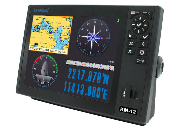
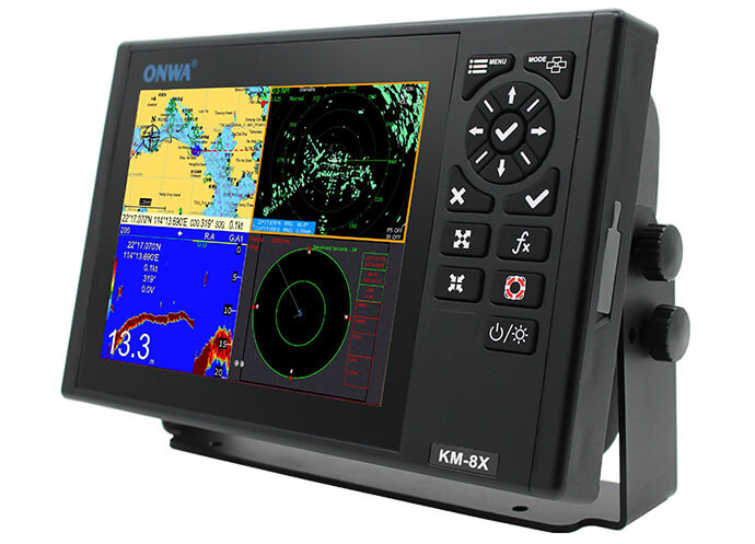
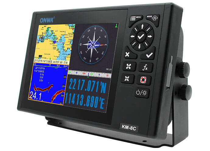
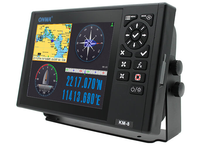
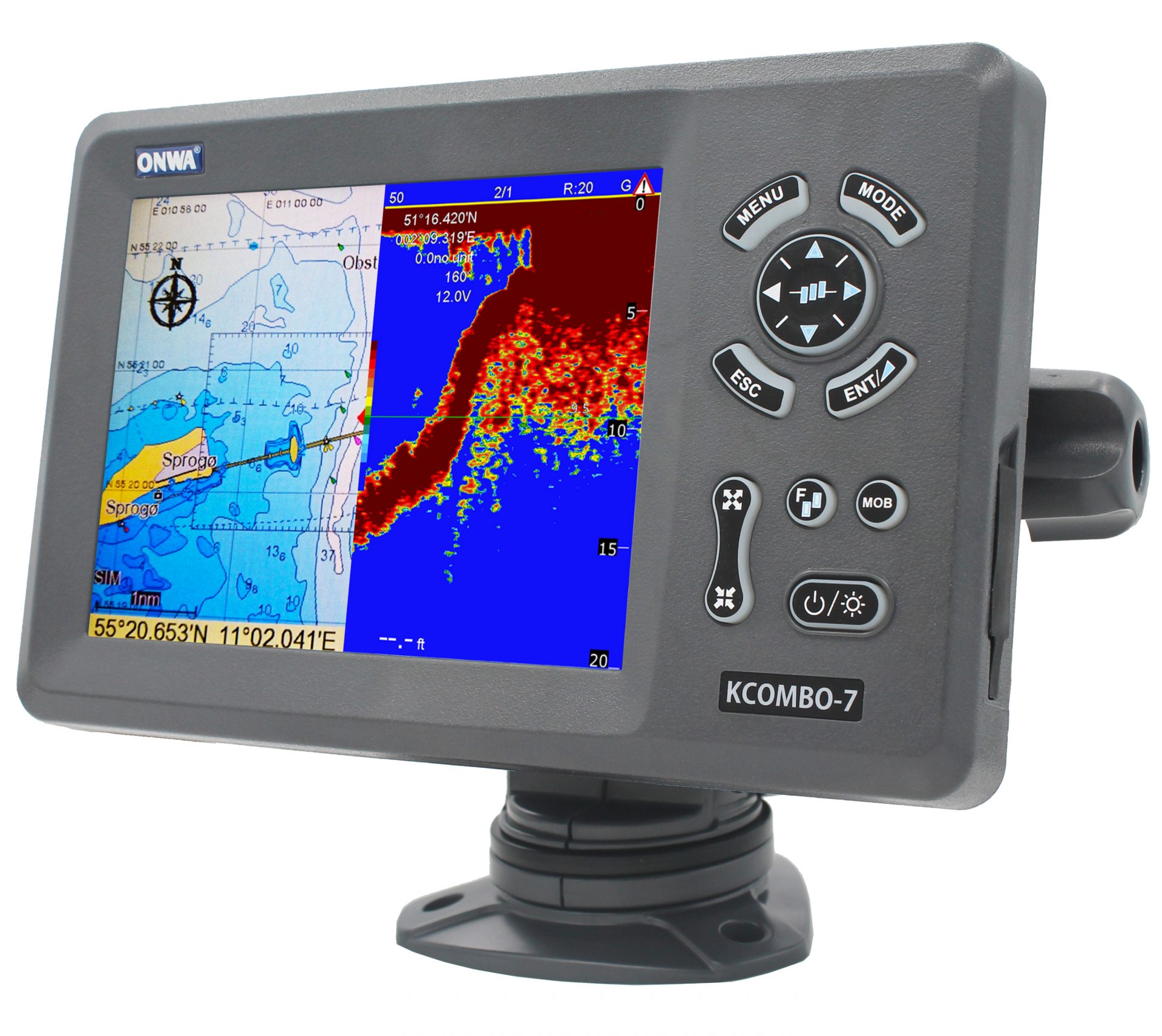
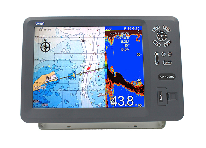
What is a GPS Plotter with AIS
The GPS plotter with AIS is a revolutionary piece of technology that has significantly increased safety and efficiency on the waterways.GPS Plotter with AIS: An Innovative Solution for Navigation
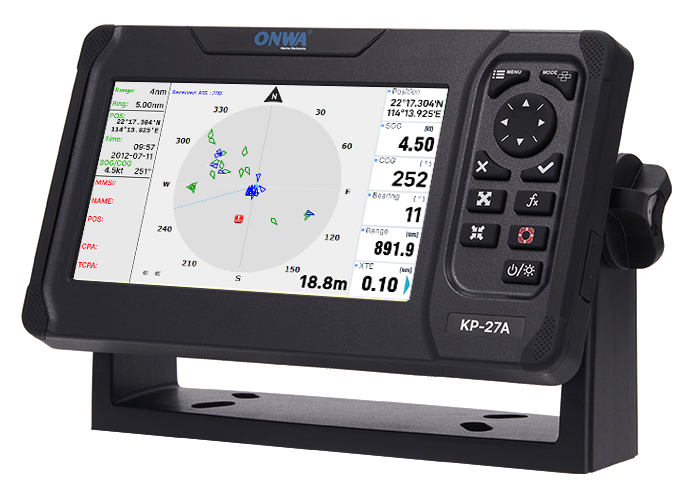
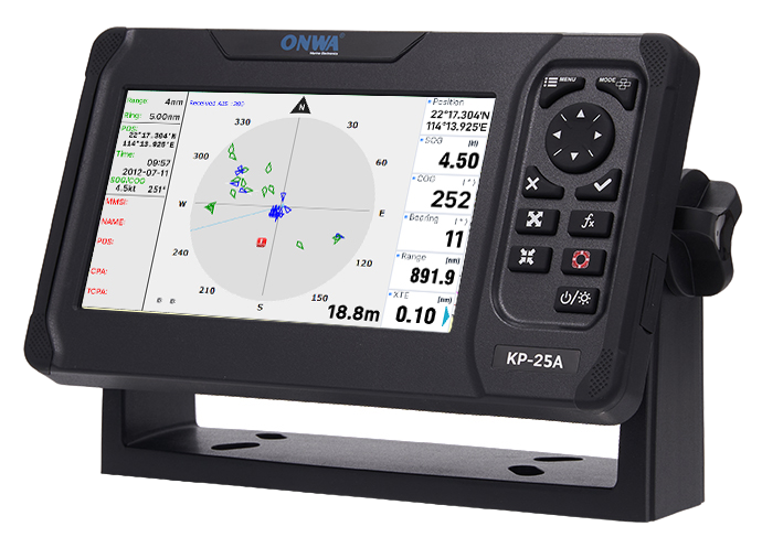
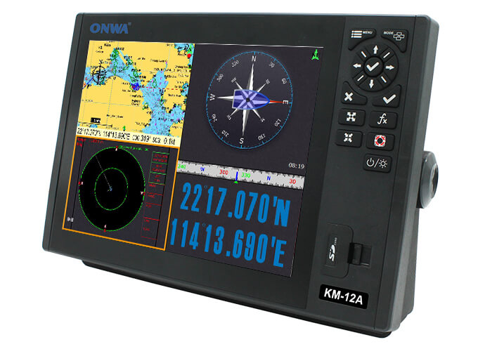
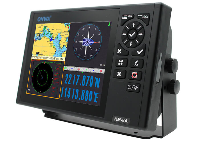
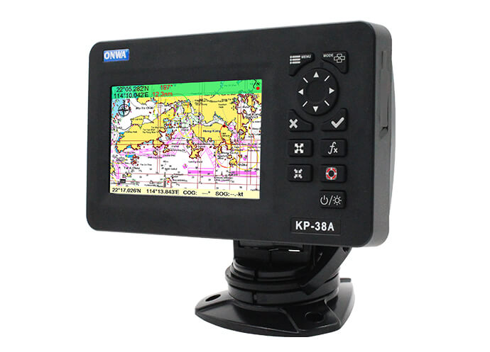
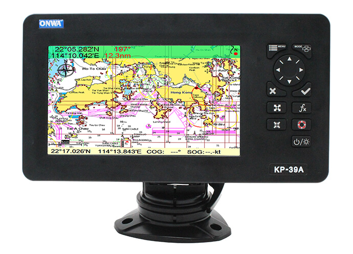
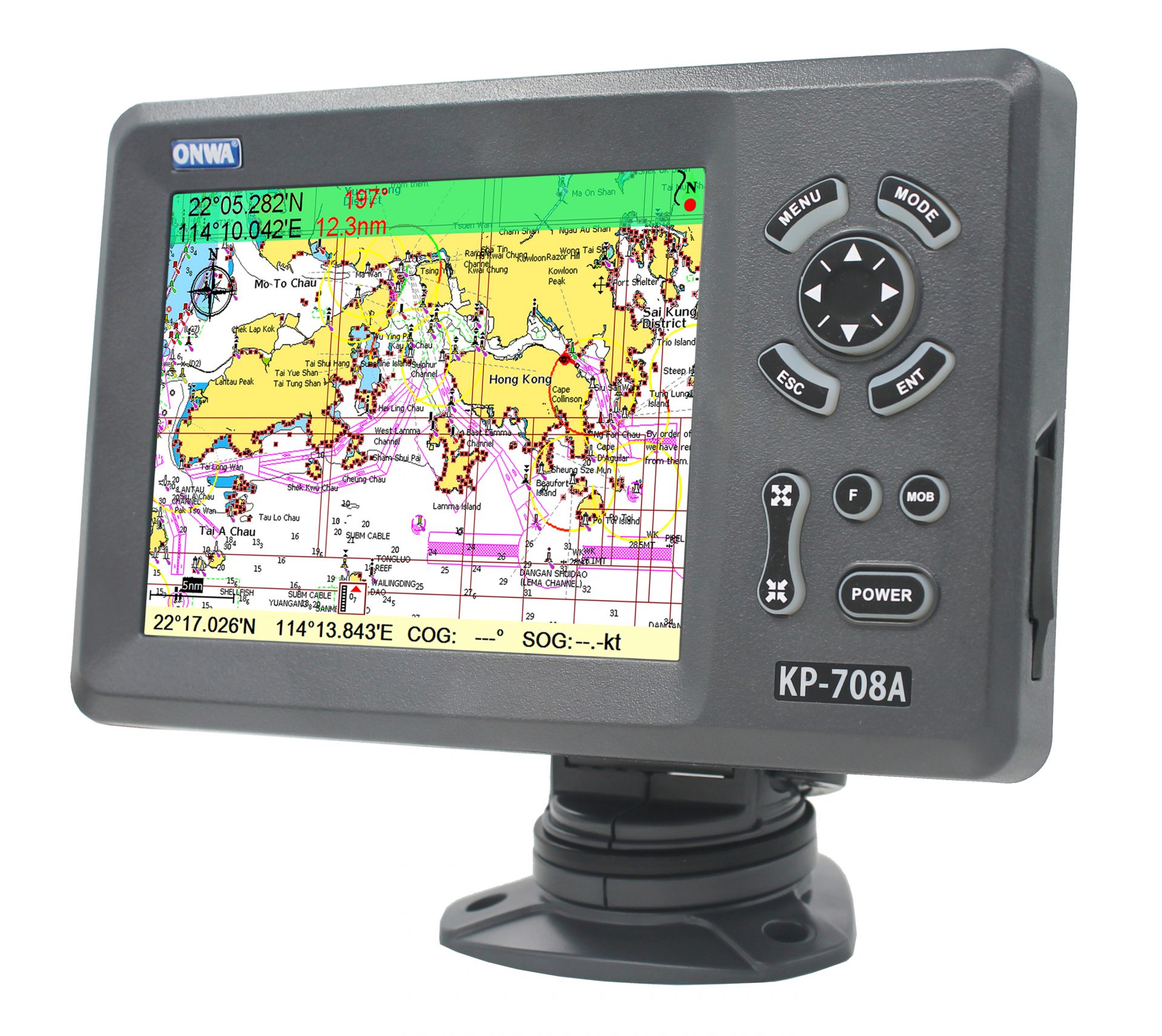
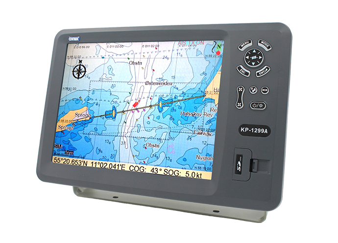
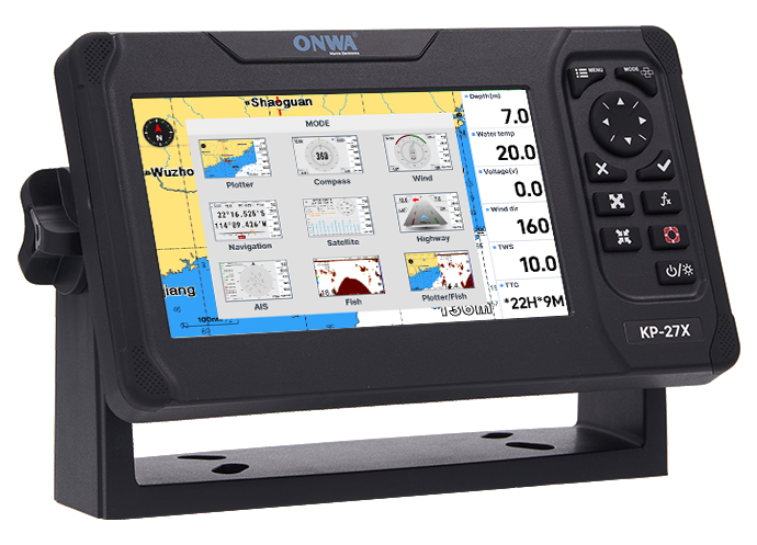
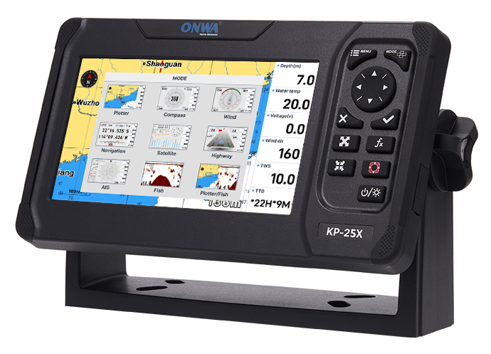
A GPS plotter with AIS is an enhancement in marine technology that integrates two pivotal systems for optimal navigation and security.- GPS Plotter: The GPS plotter is a device that uses Global Position System technology to map out a vessel's specific geographic location in real-time on a digital chart. It is the backbone of modern navigation, providing precise and instant coordinates.
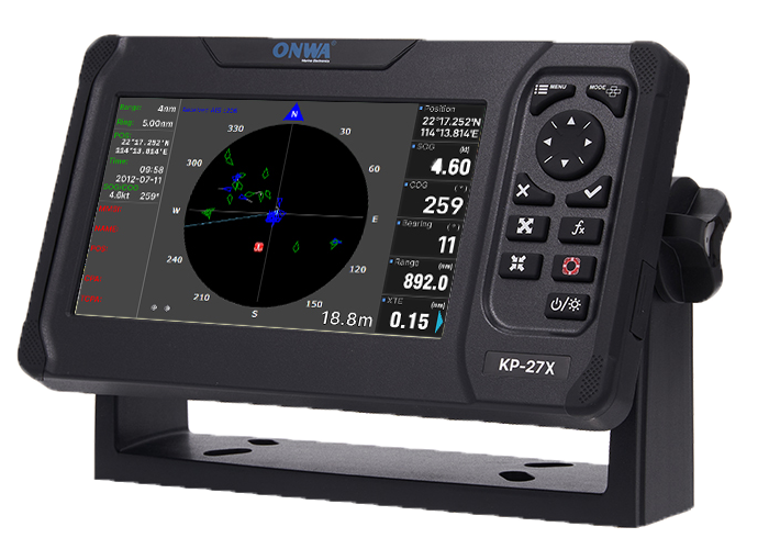
- AIS Integration: An Automatic Identification System (AIS) receives data from the satellites and nearby vessels to provide detailed maritime traffic information. This integration allows the chart plotter with AIS to present an accurate picture of a vessel's surroundings.
The Significance of AIS in Maritime Safety
The AIS's primary function is to exchange navigational data with other nearby ships within VHF range.- Sharing Critical Information: AIS shares vital data such as a vessel's position, speed, heading, and identification. This promotes communication and proactive collision prevention.
- Encouraging Proactive Avoidance: With these details, mariners can make informed navigational decisions in real-time, significantly enhancing maritime safety.
Merging GPS Potters and AIS: A Jump in Technology
The fusion of GPS plotters and AIS goes beyond conventional navigation techniques, providing a more comprehensive understanding of the maritime environment.- Data Interpretation: The GPS plotter with AIS interprets data into a graphical display, converting raw, hard-to-understand data into easy-to-comprehend, actionable information.
- Enhanced Maritime Safety: By combining these technologies, vessels on the seas have a holistic view of the maritime scenario. This clarity allows for swift, calculated decisions, reducing the risk of maritime collisions.
Traditional Radar to AIS Transponders
The shift from radar to AIS transponders was a significant improvement in the history of marine technology. This transition was pivotal in the creation of the GPS plotter with AIS.- Traditional Radar Limitations: Radar provided basic object detection, marked as dots or 'blips' on the screen.
- The AIS Advantage: AIS transponders go beyond simple detection. They provide a narrative of the marine traffic, revealing salient details about the vessels present, such as the type of ship, speed, direction, and identification.
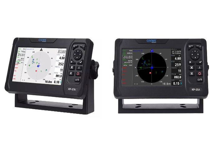
Harnessing the Power of a GPS Plotter with AIS
The fusion of GPS plotter with AIS has revolutionized maritime safety and navigation, offering a host of benefits. This combination of technologies is instrumental in providing mariners with extensive information about the surrounding sea traffic, hence enhancing situational awareness and reducing the risk of collisions.Advantages of Merging GPS Plotters with AIS
The integration of GPS plotters and AIS in the form of GPS plotter with AIS provides several benefits:- Real-Time Updates: GPS plotter with AIS delivers real-time updates about the vessel's location and nearby ships, allowing for dynamic navigational adjustments.
- Enhanced Safety: By displaying the course, speed, and identification details of other vessels in the vicinity, the GPS plotter with AIS significantly minimizes the risk of incidents and collisions at sea.
- Improved Communication: AIS technology facilitates automated ship-to-ship and ship-to-shore communication, improving navigational safety and the efficiency of maritime traffic management.
- Increased Accuracy: The combined GPS and AIS data offer accurate vessel positioning and movement details, leading to more precise navigation and charting.
Amplifying Situational Awareness with GPS Plotter with AIS
The GPS plotter with AIS serves as an essential tool for enhancing maritime situational awareness:- Comprehensive Visualisation: By graphically presenting the positions of nearby vessels along with their navigational data, the GPS plotter with AIS helps orients mariners in the dynamic maritime environment.
- Predictive Abilities: Based on the collated data about speed and direction of nearby vessels, mariners can foresee potential navigational issues and take preventive actions, thereby averting risks.
- Efficient Decision Making: With a clear understanding of the maritime traffic and conditions, operators can make more informed and effective navigational decisions, leading to safer and more efficient voyages.
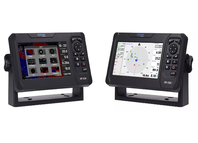
Choosing the Best GPS Plotter with AIS
Selecting the most suitable GPS plotter with AIS requires careful consideration of various factors to ensure it meets your navigational needs and integrates seamlessly with your vessel's existing systems. This decision can significantly influence your maritime safety and operational efficiency, making the choice of the right device essential.Factors to Consider Before Making a Purchase
When it comes to selecting a GPS plotter with AIS, there are several crucial aspects to consider:- Compatibility with Existing Marine Systems: Ensure the device can integrate smoothly with your vessel's current systems for a seamless operation. Compatibility reduces the need for additional costly upgrades or modifications.
- Display Size and Readability Under Various Conditions: A clear and adequately sized display is vital for easy readability, even under harsh sunlight or during night-time voyages. This ensures that important navigational information is always visible and easily interpreted.
- Ease of Use and Installation: Look for devices that are straightforward to install and have intuitive user interfaces. This minimizes the learning curve and technical challenges, making navigation simpler and safer, especially in critical situations.
GPS Plotter with Echo Sounder
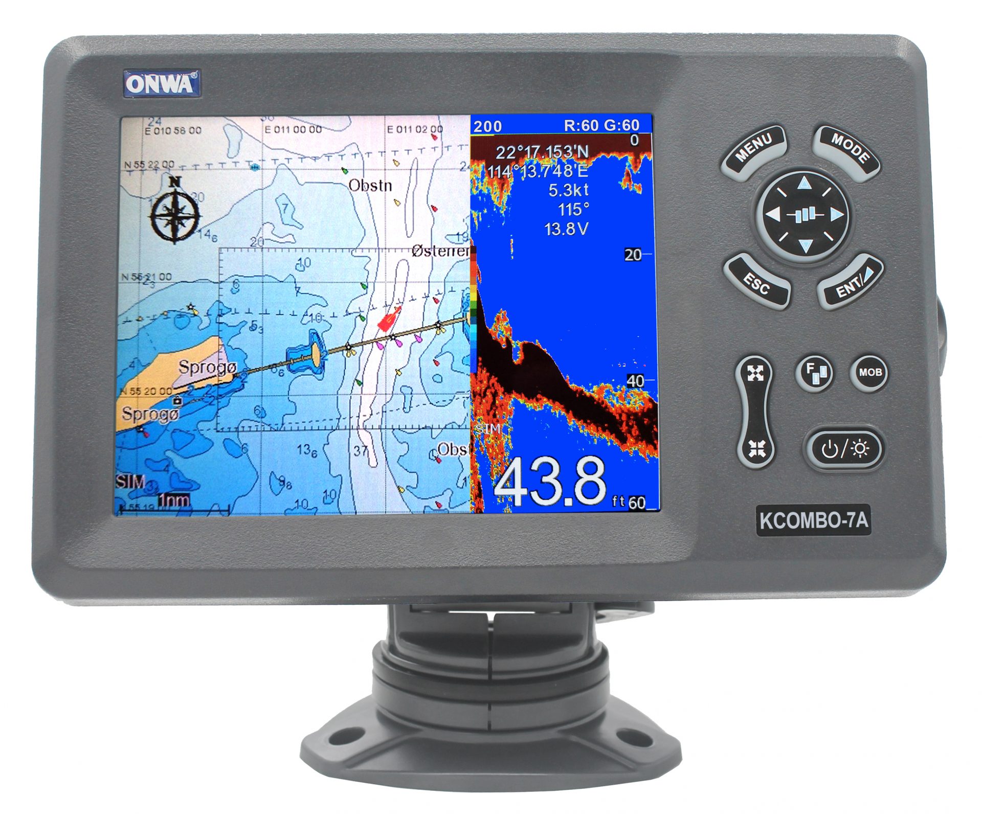
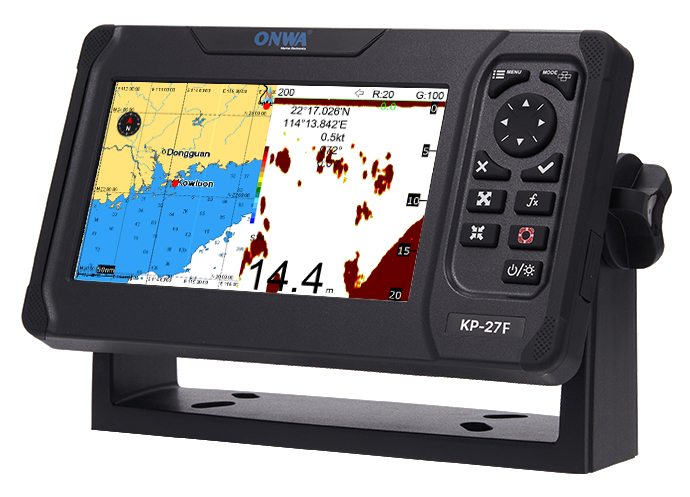
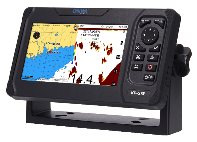
Incorporating an echo sounder into a GPS plotter with AIS adds a valuable dimension to your maritime navigation tools, providing depth data alongside vessel positioning and AIS information.- The Added Advantage of Having an Echo Sounder in Your GPS Plotter with AIS: An echo sounder function combined with GPS/AIS capabilities allows mariners to not only track nearby vessel traffic but also understand the underwater terrain, making it invaluable for avoiding shallow areas or underwater hazards. This comprehensive approach to navigation enhances safety and operational efficiency.
- Comparing Models That Offer This Additional Feature: While several models on the market include both GPS/AIS and echo sounder functionalities, it's important to compare them based on echo sounder precision, depth range, and additional features such as fishfinding capabilities or water temperature readings. Some models stand out for their advanced sonar technology, offering clearer, more detailed underwater images, which can be crucial for fishermen and those navigating challenging waters.
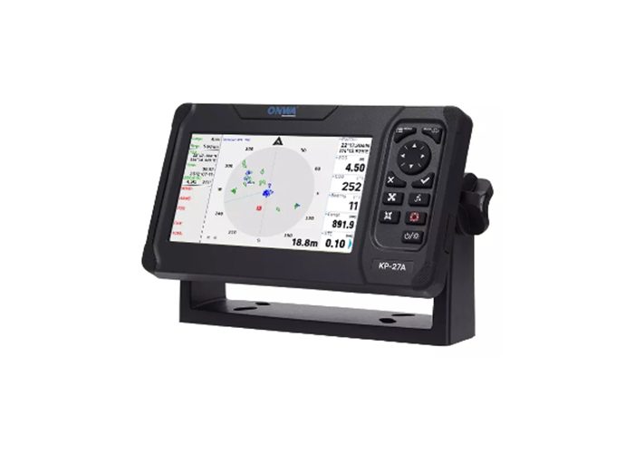
GPS Plotter with AIS Putting Technology to Test: On-water Experiences
The role of a GPS plotter with AIS (Automatic Identification System) is evolving beyond just a navigational aid; it is proving itself as an essential technology for safety and efficient travel on the waters. Delve into real-life situations where mariners have put this technology to the test, and we gather insights from the marine community about their direct experiences with these systems.Indispensable Scenarios for GPS Plotter with AIS
Collision Avoidance in Crowded Channels
One of the most critical functions of a GPS plotter with AIS is its ability to assist in collision avoidance. In congested shipping lanes or in poor visibility conditions, such as fog, the AIS capability of the plotter becomes invaluable.- High-Traffic Areas: Mariners navigate with confidence knowing they can identify and track the movements of nearby vessels.
- Adverse Conditions: The AIS feature allows for the detection of vessels that might not be visible to the naked eye or on radar due to size or weather conditions.
Efficiently Navigating in Fishing Grounds
For the fishing community, a GPS plotter with AIS is not only about safety but also about efficiency and conservation of resources. Fishermen use AIS data to identify areas with high traffic and steer clear to avoid crowded fishing spots or potential entanglements with larger vessels.- Locating Ideal Fishing Spots: Utilizes vessel traffic information for choosing less crowded areas.
- Sustainable Practices: Helps in following marine conservation guidelines by avoiding overfished zones.
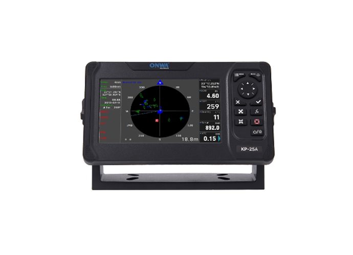
Feedback from the Marine Community and Experts
- Ease of Integration
- Many users appreciate how GPS plotters with AIS (Automatic Identification System) integrate seamlessly into existing boat systems. Experts note that the compatibility with VHF radios and existing network systems makes for a straightforward installation process. Compatibility with both NMEA 0183 and NMEA 2000 protocols is often highlighted as particularly beneficial.
- Enhanced Safety
- The community often emphasizes the safety improvements that come with using AIS systems. Being able to see and be seen by other vessels, especially in poor visibility conditions, has been cited as a game-changer for amateur sailors and professional mariners alike. Safety experts underscore the importance of AIS in collision avoidance strategies.
- Learning Curve
- While the overall feedback is positive, some users mention a steep learning curve. New adopters of the technology suggest that more intuitive user interfaces and comprehensive manuals could improve the user experience. Marine electronics specialists often provide workshops or online tutorials, highlighting this need.
- Data Reliability
- Reliability of the data provided by AIS has been a point of discussion. Most users report high accuracy in the information received from other vessels, including position, heading, and speed. However, experts caution that the system is only as reliable as the data input by each vessel, emphasizing the need for regular updates and checks.
- Screen and Display Quality
- Feedback on screen and display quality varies. Many appreciate high-resolution screens that are easy to read in sunlight, but some wish for larger display options or better anti-glare screens. Marine electronics reviewers often test and compare the visibility and readability of various models under different conditions.
- Battery Life and Power Management
- For handheld or portable GPS plotters with AIS, battery life is a critical factor. Long-lasting battery options receive positive feedback, especially from users in remote areas where charging options may be limited. Power management features, such as screen brightness adjustments and power-saving modes, are frequently suggested improvements.
- Software Updates and Mapping Accuracy
- Regular software updates are highly valued by the community, with many users noting that they help keep the maps accurate and include the latest features. Some, however, express frustration over the process of updating software and maps, calling for simpler update procedures.
- Customer Support and After-Sales Service
- Good customer support is highly praised, especially when it comes to resolving technical issues or helping with installation and setup. Stories of responsive and knowledgeable support teams circulate within the community, often influencing others' purchasing decisions.
- Durability and Weather Resistance
- Durability in the harsh marine environment is crucial. Users report satisfaction with devices that are waterproof, fog-proof, and capable of withstanding saltwater exposure. Rugged design that resists wear and tear is often listed as a deciding factor for seasoned sailors.
GPS Plotter with AIS: Future of Marine Navigation
The landscape of marine navigation technology is constantly evolving, with GPS plotters with AIS at the forefront of this transformation. The future of navigating the world's waterways is leaning towards more interconnected and intelligent systems, with GPS plotters with AIS playing a pivotal role. Explore the emerging trends and the projected impact of advancements like artificial intelligence (AI) on these critical navigation devices.Emerging Trends in Marine Navigation
Advancements in Real-Time Data Analytics
The integration of real-time data analytics is one of the significant trends in GPS plotter with AIS technology, offering mariners instantaneous information to make safer and more informed decisions.- Precise Traffic Patterns: Predicting vessel movements more accurately to prevent potential hazards.
- Environmental Conditions Analysis: Offering real-time weather and oceanographic data to optimize route planning and improve fuel efficiency.
Enhanced Global Connectivity
Improved global connectivity is set to revolutionize the use of GPS plotters with AIS, providing continuous, reliable access to global positioning data and AIS information even in the most remote locations.- Satellite Communication Integration: Expanding the capabilities for offshore vessels to maintain uninterrupted access to AIS data.
- Internet of Things (IoT) Capabilities: Enabling a network of devices to communicate and collaborate, streamlining the navigation process and safety protocols.
AI and Machine Learning in Future Chartplotters with AIS
Role of AI in Advancing Navigation Safety
AI is expected to drastically enhance the functionality of GPS plotters with AIS, providing predictive analytics and intelligent decision-making support that can redefine marine safety.- Predictive Collision Avoidance: Utilizing AI algorithms to anticipate and suggest maneuvers to avoid potential collisions.
- Automated Voyage Planning: AI could take into account historical data, weather predictions, and real-time traffic information to plot the most efficient and safe course.
Machine Learning for Personalized Navigation Experiences
Machine learning technologies could allow GPS plotters with AIS to adapt to individual captain's preferences and past behavior, delivering a more personalized navigation experience.- Behavioral Pattern Recognition: Adjusting recommendations based on the captain's unique navigation style and history.
- Continuous Learning Systems: Evolving with every journey, these systems would constantly improve suggestions for route optimization and hazard avoidance.
>>Click here view more

