What Is a Marine GPS Navigator?
A Marine GPS Navigator is a sophisticated device designed to provide real-time location data to those at sea. It utilizes the Global Positioning System (GPS) to offer precise positioning, which is crucial for safe and effective navigation in vast oceanic expanses. The role of boat GPS extends beyond mere location tracking; they are pivotal in enhancing maritime safety. By advising on the optimal routes, alerting navigators to nearby hazards, and ensuring that vessels maintain a safe course, these devices significantly contribute to minimizing the risks associated with maritime travel and activities.Types of Marine GPS Systems
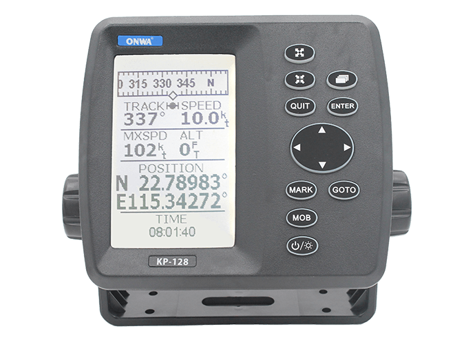
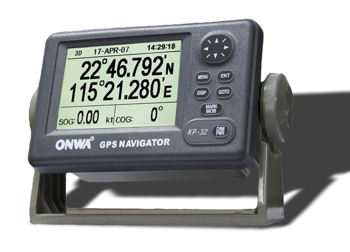
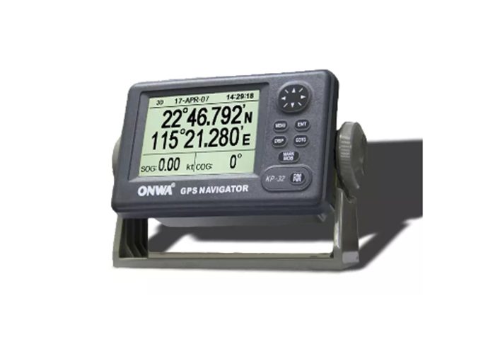
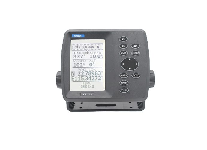
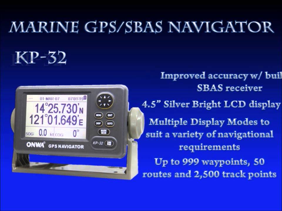
Understanding the variety within Marine GPS systems is key to selecting the right equipment for maritime adventures.- Standalone GPS Receivers: These devices focus solely on providing geographic location data. Ideal for basic navigation needs, they are straightforward but essential for pinpointing positions at sea.
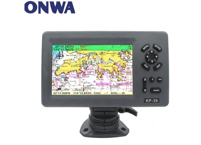
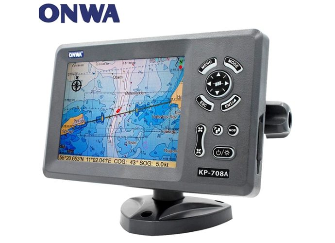
- Chart Plotters: Chart plotters integrate GPS data with digital nautical charts, offering a dynamic navigation experience. They allow mariners to plot courses and view their movements in relation to landforms, underwater obstacles, and navigational aids.
- Fishfinders: Originally designed to locate fish under the water, fishfinders use sonar technology. Modern units often integrate GPS functions to mark productive fishing spots accurately.
- Hybrid Devices: These systems combine the functionalities of the above devices, offering a comprehensive marine navigation solution. They might include features from chart plotters and fishfinders in one package, providing versatility and convenience for a wide range of maritime activities.
Choosing the Right Marine GPS Navigator
Selecting the ideal Marine GPS Navigator is pivotal for enhancing your maritime experience. This choice can significantly impact the safety, efficiency, and enjoyment of your time on the water.Marine GPS Navigator Apps vs. Handheld vs. Fixed Systems
| Type | Marine GPS Navigator Apps | Handheld Devices | Fixed Systems |
|---|---|---|---|
| Cost-effectiveness | High (cost-effective and convenient) | Moderate (more expensive than apps but without the recurring costs of larger systems) | Low (requires significant initial investment) |
| Ideal For | - Casual boaters - Those preferring not to invest in separate equipment | - Small boats - Personal watercraft - Backup for larger vessels | - Serious mariners - Serious mariners - Larger boats needing comprehensive solutions |
| Advantages | - Turns a smartphone or tablet into a GPS device - Convenient and portable | - Portable and robust - Often waterproof - Designed for marine environments | - Highest level of functionality - Larger screens - Advanced navigational features - Integration with other marine electronics |
| Limitations | - Reliability can be affected by device limitations and environmental factors | - May lack advanced features found in larger, fixed systems | - Requires installation - Higher cost |
| Reliability & Durability | - Can be compromised by environmental factors and device limitations | - High reliability and durability due to waterproofing and design for marine use | - Very reliable and durable, designed for permanent marine use |
Key Features to Look For in a Marine GPS Navigator
When choosing a marine navigation, regardless of the type, certain features are essential for maximizing its utility.- Waterproofing: Given the marine environment, waterproofing is a crucial feature. It ensures the device's longevity and functionality, even when exposed to water.
- Screen Size: A larger screen can provide clearer visibility and more information at a glance but consider space limitations. For handheld devices, a balance between portability and readability is essential.
- Pre-loaded Maps: Look for devices that come with pre-loaded maps of your common boating areas. Some systems allow for downloadable maps, which can be a versatile option for those who venture into various waters.
- Connectivity Options: Connectivity features like Wi-Fi or Bluetooth can enhance the functionality of your Marine GPS Navigator by allowing for easy updates, integration with other devices, and access to real-time weather updates.
Marine GPS Navigator Special Focus
In the realm of maritime exploration and angling, the GPS marine navigation stands out as a critical piece of technology. Its applications are vast, enabling safer and more productive experiences on the water. This special focus delves into two specific functionalities integral to marine navigation: chart plotters and fishfinders, and the benefits of their integration.Chartplotter vs Fishfinder: Understanding the Difference
| Feature | Chartplotter | Fishfinder |
|---|---|---|
| Primary Purpose | Navigation | Locating fish and underwater objects |
| Technology Used | GPS data | Sonar technology |
| Key Functions | - Real-time positioning - Course plotting - Location identification | - Detecting fish - Identifying depth - Mapping bottom contours |
| Main Users | Navigators | Fishermen |
| Value | - Essential for navigational planning and execution - helps identify potential hazards | - Provides insights into the underwater environment - Optimizes fishing strategies |
| Focus | Navigation and safety on water | Enhancing fishing success and strategy |
The Advantage of Combining Chartplotter and Fishfinder Technologies
Modern navigation marine GPS devices often integrate chartplotter and fishfinder technologies, offering a multifaceted tool that encapsulates comprehensive marine navigation solutions. This combination presents several advantages:- Versatility: Combining these technologies provides the versatility needed for a wide range of marine activities, from sailing and cruising to fishing, ensuring users have all the necessary information at their fingertips.
- Space and Cost Efficiency: Integration means fewer devices are needed aboard, saving space and potentially reducing overall equipment costs.
- Enhanced Functionality: The overlay of sonar data onto navigational charts (where supported) enriches the user experience, allowing for better awareness of both underwater and surface-level navigational elements. This synergy enhances safety and efficacy in navigation and fishing endeavors alike.
Marine GPS Navigator: Utilizing Marine GPS Apps
The advent of smartphones and tablets has revolutionized the way we navigate the seas. Nowadays, one can turn their portable device into a Marine GPS Navigator with just a few taps. This convenience, along with other advantages, makes GPS navigation marine apps an attractive alternative to traditional devices for many maritime enthusiasts.Navigating with Marine GPS Navigator Apps
With a variety of best GPS for marine navigation apps available on the market, boaters and fishermen alike can enjoy easy navigation right in the palm of their hand. These apps stand out for several reasons:- Portability: They transform your smartphone or tablet into a Marine GPS Navigator, which means one less device to carry around. Whether you're kayaking, sailing, or fishing, being able to navigate using a device you already have facilitates mobility.
- Ease of Use: Marine GPS Navigator apps are typically user-friendly, with intuitive interfaces that are easy to understand and navigate. Even beginners can quickly learn to use them effectively.
- Accessibility and Updates: Being internet-connected, these apps usually offer real-time access to a wealth of information, from current sea conditions to updates in nautical charts.
- Cost-Effectiveness: Compared to standalone devices, apps are often more affordable, making marine navigation more accessible to a wider audience.
Marine GPS Navigator Maintenance and Updates
Regular maintenance and updating are pivotal to the performance and reliability of any GPS navigator marine. Staying current with the latest updates not only enhances the functionality of your device but also ensures the safety of everyone on board.Keeping Your Marine GPS Navigator Up-to-Date
Ensuring that your GPS marine navigation systems remain up-to-date is an essential task that should be privileged as part of your regular maritime maintenance routine.- Importance of Updates:
- Map Accuracy: Waterways and marine environments are dynamic, with changes that can include new navigational hazards, altered waterway markers, or updated marine protected areas. Regular updates to your boat GPS systems's maps ensure that you have the most accurate and latest information.
- Software Reliability: Updating the device's software can improve its overall stability, fix bugs, and sometimes even enhance its speed and responsiveness, leading to more reliable navigation.
- Updating Process:
- Automatic Notifications: Some marine GPS navigation systems notify users of updates automatically, making it easy to know when new maps or software versions are available.
- Manual Updates: For devices without automatic update notifications, it's a good practice to check the manufacturer's website periodically for updates or to use dedicated software provided for this purpose.
- Accessing New Charts: Manufacturers often release new charts that can be downloaded directly to the Marine GPS Navigator or through a computer. Access to these charts may require a subscription or a one-time purchase depending on the provider.
>>Click here view more
