What is Marine GPS Chartplotters?
Knowing marine navigation systems is crucial for any maritime enthusiast or professional. Among these systems, marine GPS chartplotters stand out as essential tools for both navigation and safety.Marine GPS Chartplotters Definition
Marine GPS chartplotters are advanced navigation systems that uniquely combine GPS data with electronic nautical charts. Utilizing satellites, these devices pinpoint your exact location at sea and, thanks to their chart plotting capabilities, provide a dynamic visual map that aids in safe navigation. A marine GPS chartplotter serves as a critical tool for any seafaring vessel, from small fishing boats to large cargo ships.Importance in Navigation
The significance of the marine GPS plotter cannot be understated. These devices revolutionized maritime travel, offering accuracy and up-to-date navigational data that traditional paper charts cannot match.Real-time Positioning
By using marine GPS chartplotters, mariners can obtain real-time updates of their position, helping them better understand their location in relation to the surrounding marine environment. These devices ensure that seafarers can navigate waters with increased precision, avoiding potential hazards and finding the safest routes.Enhanced Navigational Features
Marine GPS chartplotters are not only about showing your position but also enhancing the overall navigation experience with added functionalities. They typically include features like automatic route planning, waypoint marking, and the display of important data such as water depth and speed. These enriched features make marine chartplotters & GPS an indispensable tool for efficient and safe maritime navigation.
How Marine GPS Chartplotters Work
To fully appreciate the value and functionality of marine GPS chartplotters, it's important to explore the technology that powers these essential maritime tools. Unpack the technology behind these devices and discuss the crucial datasets and map sources that they rely on.Technology Behind Best Marine GPS Chartplotters
Understanding the technology involved provides insight into how marine GPS chartplotters operate efficiently and accurately.GPS Technology
The primary technological component in these tools is the Global Positioning System (GPS). Here are some key points:- Roots in satellite navigation: The GPS is a satellite navigation system. Essentially, a marine GPS chartplotter communicates with multiple satellites orbiting the earth to pinpoint your boat's location at sea.
- Crucial for accurate positioning: GPS allows marine GPS chartplotters to accurately provide real-time updates about the vessel's location, speed, and direction at any given time.
Chartplotter Functionality
Apart from GPS, the chartplotter functionality is an essential part of these devices. Some key points are:- Integrating GPS data with nautical charts: The chartplotter functionality takes raw GPS data and overlays it on electronic nautical charts. This allows for the real-time visual representation of the vessel's position at sea.
- Importance for navigation: This functionality is critical as it enables mariners to easily understand their vessel's position relative to land, points of interest, and potential hazards.
Datasets and Map Sources Used in Marine GPS Chartplotters
Marine GPS chartplotters rely on specific datasets and map sources to function effectively.Electronic Nautical Charts (ENCs)
The primary data used are Electronic Nautical Charts (ENCs). Important points to note about ENCs include:- Up-to-date information: ENCs offer the most current marine navigational information, providing details about sea depth, coastline data, landmarks, obstructions, and other aids to navigation.
- Standardization: As a global maritime standard, ENCs assure compatibility and uniformity across all GPS chartplotter marine.
Supplementary Datasets
Apart from ENCs, marine GPS chartplotters use several other datasets to provide added functionality and enhance the navigational experience. These datasets include:- Bathymetric data: This data gives detailed information about the seafloor's depth and topography, which can be essential for fishing and diving activities.
- Weather data: Real-time weather data ensures that mariners can anticipate and prepare for changing weather conditions.
- AIS data: Automatic Identification System (AIS) data shows information about nearby vessels, which enhances safety and collision avoidance.
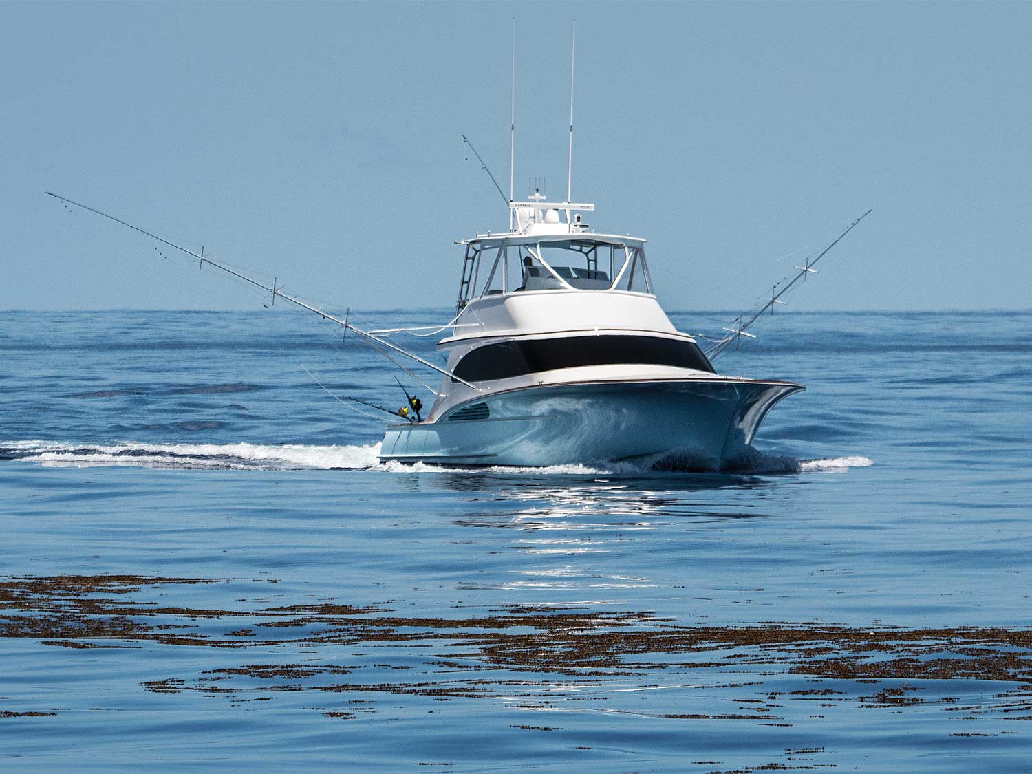
Advantages of Using Marine GPS Chartplotters
The advent of marine chartplotter GPS has transformed marine navigation in numerous ways. These devices bring a multitude of benefits, from enhancing the accuracy of navigation to improving safety measures at sea.Improved Accuracy in Navigation
One of the foundational benefits of marine GPS chartplotters lies in their ability to significantly improve navigation accuracy.Real-time Location Updates
- Precision: The GPS functionality provides precise location updates in real-time, enabling mariners to know their exact position at sea.
Dynamic Chart Overlay
- Integration with Electronic Charts: GPS data is integrated into electronic charts, offering a dynamic visual aid that accurately represents the vessel's current location relative to maritime routes, hazards, and points of interest.
Increased Safety at Sea
Safety is paramount in maritime navigation, and marine GPS chartplotters contribute significantly to enhancing safety protocols.Collision Avoidance
- AIS integration: Many chartplotters incorporate Automatic Identification System (AIS) data, which helps in identifying and avoiding nearby vessels, thereby reducing the risk of collisions.
Emergency Planning
- Emergency Features: Some chartplotters are equipped with features like Man Overboard (MOB) functionalities, enabling quick response in emergencies to improve rescue chances.
Enhanced Fishing Capabilities
For the fishing community, marine GPS chartplotters have revolutionized how fishing is conducted, making it more efficient and productive.Locating Fish Schools
- Sonar technology: Integration with sonar technology allows fishermen to locate schools of fish more accurately, by displaying underwater landscapes and fish signatures directly on the chartplotter.
Marking Fishing Spots
- Waypoint marking: Fishermen can mark productive fishing spots for future reference, making it easier to return to proven areas.
Improved Planning with Route Mapping
Marine GPS chartplotters also offer advanced planning capabilities through sophisticated route mapping features.Automated Route Planning
- Efficiency: Chartplotters can automatically suggest the most efficient routes to a destination based on current location, waypoints, and navigational hazards.
Advanced Route Customization
- Customization: Mariners can customize routes with specific waypoints, annotations, and areas to avoid, making trip planning more tailored to individual needs and preferences.
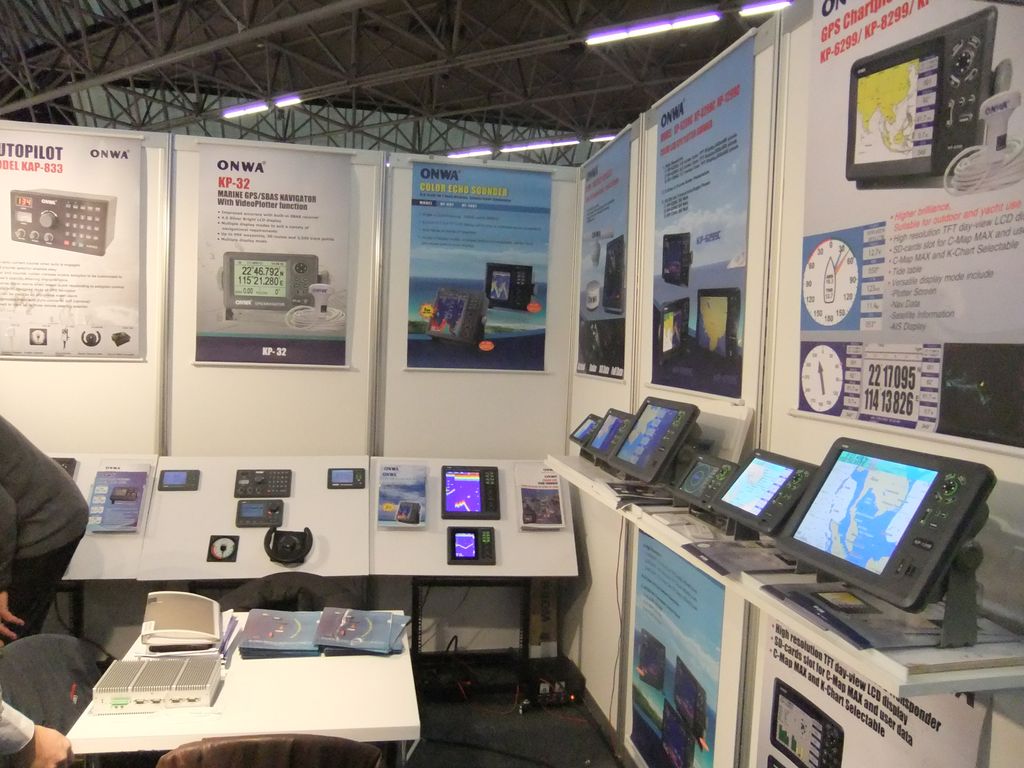
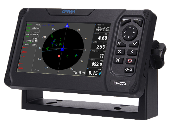
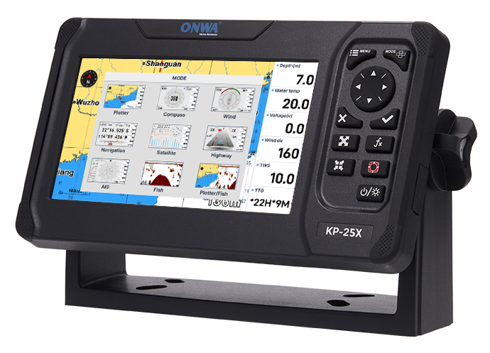
Choosing the Best Marine GPS Chartplotters
The selection process for the best marine GPS chartplotters can be daunting, given the array of options available. Whether for recreational fishing, sailing, or commercial maritime operations, understanding the core factors and specific needs based on vessel size and use is crucial.Factors to Consider When Choosing a Chartplotter
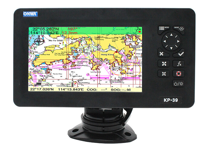
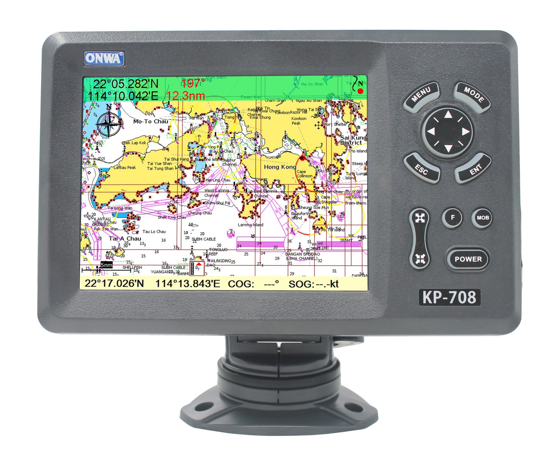
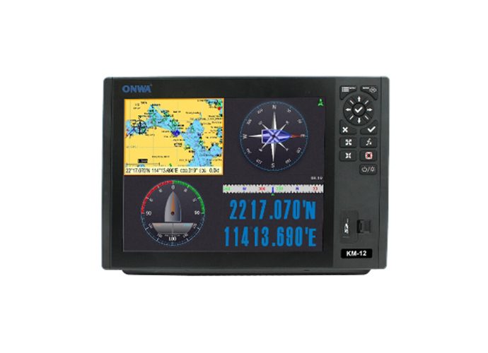
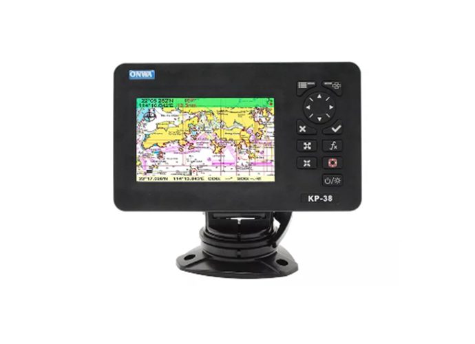
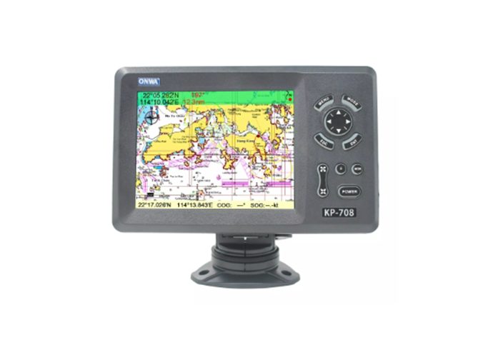
When it comes to selecting marine GPS chartplotter for sale, several key factors come into play that can significantly affect their performance and suitability for your needs.Display Size and Readability
- Visibility: Larger screens offer better visibility but consider console space. High-resolution displays ensure clear readability in various lighting conditions.
Mapping and Charting Features
- Detail and Updates: Look for units that come with comprehensive, updatable charts. Advanced charting features, like 3D views and satellite overlays, provide enhanced navigation.
Integration and Connectivity
- Compatibility with Other Devices: Chartplotters that offer integration with other onboard systems (e.g., radar, sonar, AIS) provide a cohesive navigation experience. Connectivity options like WiFi and Bluetooth enable updates and data sharing.
Durability and Waterproofing
- Resistance to Marine Conditions: Opt for chartplotters designed to withstand the marine environment, including waterproofing standards suitable for open cockpit installations.
Needs Based on Boat Size and Use
The size of your vessel and its intended use profoundly influence the type of marine GPS chartplotters that will best suit your needs.Small Boats and Recreational Use
- Portability and Ease of Use: Smaller boats benefit from compact, portable units that are easy to install and use. For recreational activities like fishing or day sailing, consider chartplotters with quick access to features like fish finders or custom waypoint marking.
Larger Vessels and Commercial Use
- Advanced Navigation and Integration: Larger vessels, especially those used for commercial purposes, require advanced navigation features. This includes higher accuracy, larger display sizes for complex charting, and integration with a broad array of maritime instruments. Commercial users should prioritize robust build quality and reliable performance under varied conditions.
Online Marine GPS Chartplotters Services
In the evolving sphere of maritime navigation, online marine GPS chartplotters services have emerged as a significant player. These services offer a digital means to access marine GPS functionalities and chartplotting capabilities through the internet.Overview of Online Marine GPS Chartplotter Services
Online marine GPS chartplotters services represent a leap towards flexibility and accessibility in navigation technologies. Offered through web platforms or mobile applications, these services provide real-time marine mapping, routing, and weather forecasting data directly to your device.Accessibility and Convenience
- Instant Updates: Gain access to the latest chart updates and navigational data without the need for physical storage or manual updates.
- Cross-platform Use: Use the service across various devices, including smartphones, tablets, and laptops, ensuring access to navigational information on the go.
Broad Feature Set
- Integrated Services: Online platforms often integrate additional functionalities such as AIS (Automatic Identification System) data, comprehensive weather information, and community-shared waypoints.
Advantages and Disadvantages Compared to Physical Devices
While online marine GPS chartplotters services offer a range of benefits, there are trade-offs when comparing them to traditional physical chartplotter devices.| Aspect | Advantages of Online Services | Disadvantages Compared to Physical Devices |
|---|---|---|
| Cost | - More affordable subscription model | - High upfront cost for physical chartplotter equipment |
| Information Currency | - Real-time data updates | - Physical devices may have outdated information if not regularly updated |
| Flexibility | - Accessible on various devices | - Dedicated hardware not required |
| Internet Connectivity | - Enhances functionality with online features | - Essential for optimal performance, not always available in remote areas |
| Screen Characteristics | - Adaptive display based on the device used | - Screen size and sunlight readability may be inferior to dedicated devices |
| Battery Life | - Device dependent | - Continuous use of navigation services can drain device batteries rapidly |
| Durability | - Use on personal devices which can be cost-effective for replacements | - Consumer-grade devices may not be as durable or waterproof as dedicated chartplotters in marine environments |
>>Click here view more