New

ONWA KM-8/12 Series Marine Chartplotter

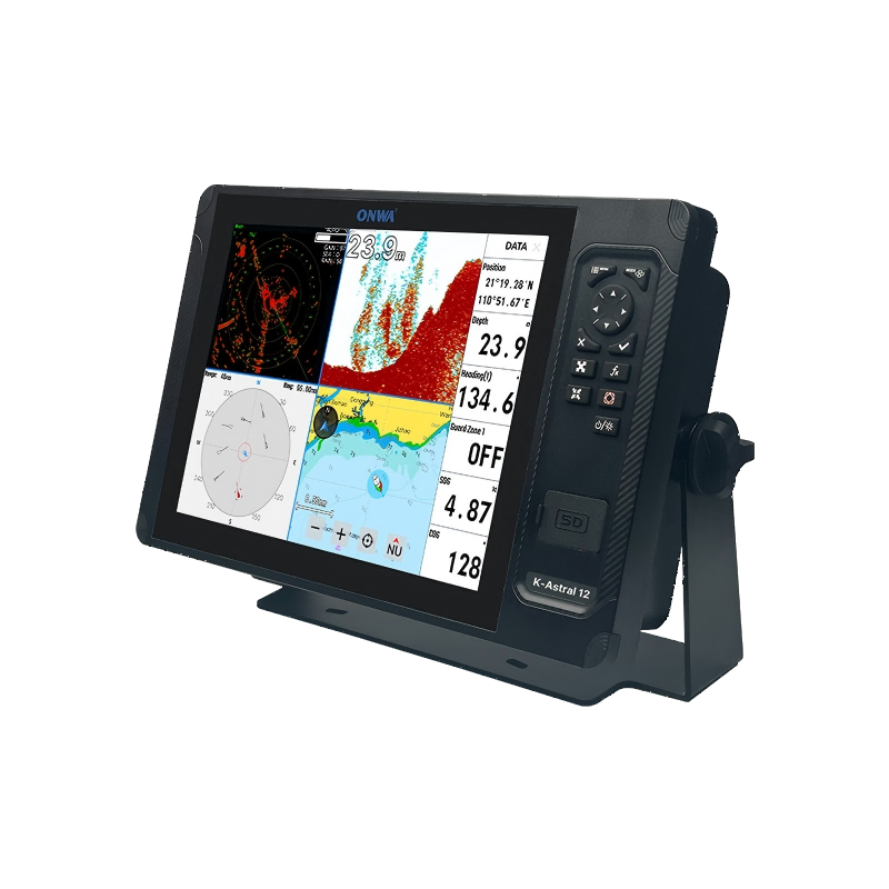
8 and 12- inch Multi-function chartplotters with Radar Display
ONWA KM 812 SERIES

Explore with Confidence​

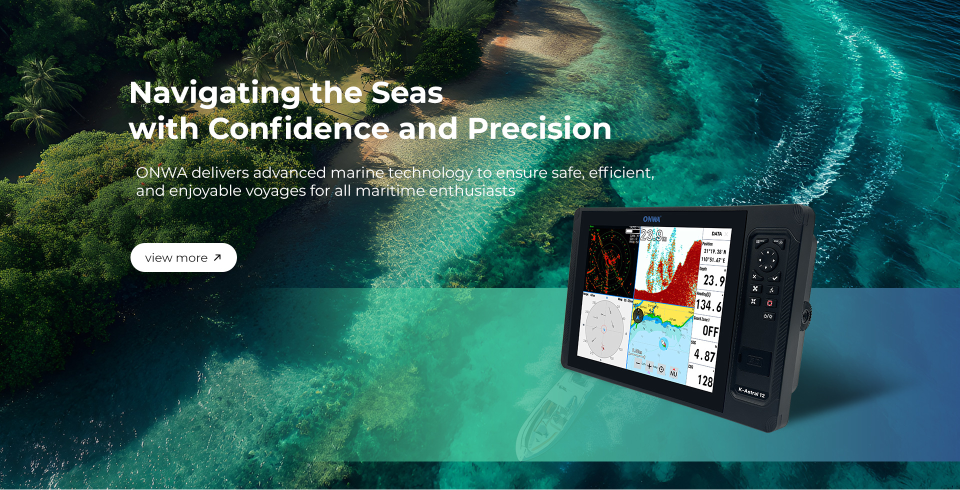
The ONWA KM Series Chartplotters are your ultimate companions for maritime navigation. Designed with reliability, speed, and advanced radar capabilities, the KM Series ensures that you navigate the waters with utmost confidence and precision.

Discover the Next Level of Maritime Navigation

When it comes to navigating the open waters, the ONWA KM Series Chartplotters stand out as the ultimate choice for sailors who demand more. Offering larger screen sizes, higher resolutions, and advanced functionalities that surpass the KP Series, the KM Series is designed to provide a comprehensive and superior navigation experience.

Weixin Screenshot 20240620170332
20240620 162433 1

Flexible Connectivity

The KM Series supports NMEA0183, NMEA 2000, Wi-Fi, HDMI and Ethernet connectivity, allowing for seamless integration with other marine systems. This makes it easy to expand and customize your navigation setup.

User-Friendly Interface

The intuitive physical buttons interface makes it easy to navigate through settings and features. Designed for ease of use, the KM Series is accessible to both experienced mariners and those new to maritime navigation.

Radar Overlay on Charts

The KM Series allows radar data to be overlaid on nautical charts, combining visual navigation aids with real-time radar information. This feature enhances situational awareness by showing radar echoes on the chart, making it easier to correlate radar returns with charted objects.

20240620 162438
20240620 113438

Built-in AIS Features

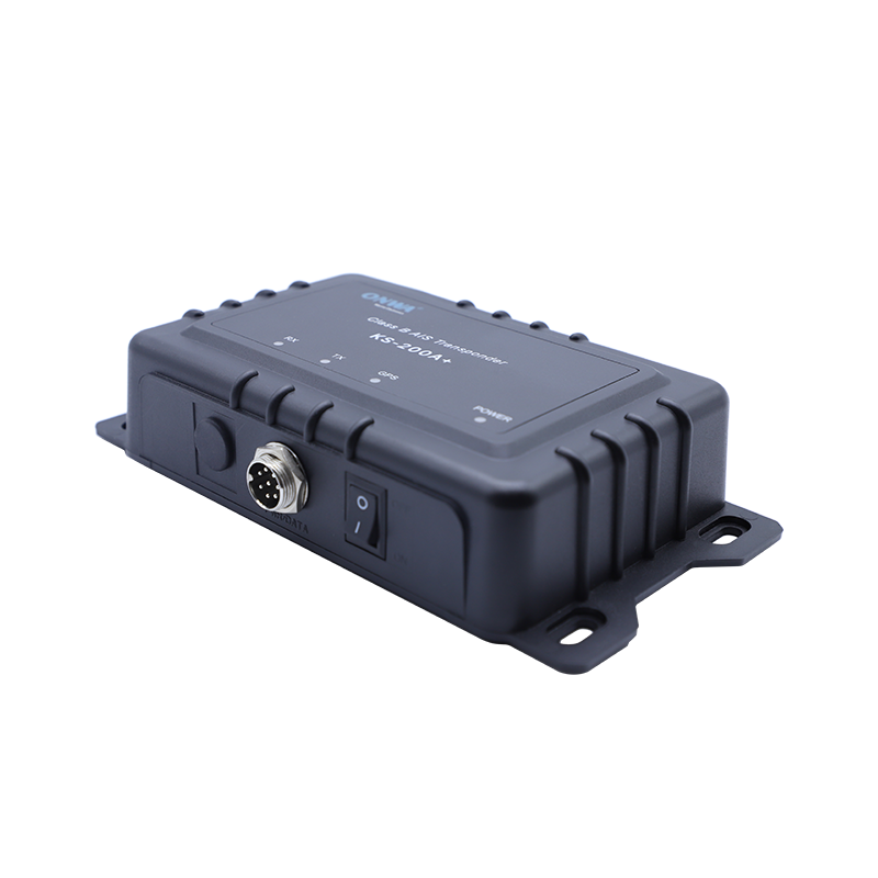
KM-8X and KM-8A,KM-12Xand KM-12A: Built-in Class B+ AIS Transponder (VHF Antenna needed)

KM-8 and KM-8C, KM-12 and KM-12C: KS-200A and VHF Antenna needed

  • Increased Transmission Rate (Based on speed)
  • exactTrax™: exactTrax Tracking

AIS message

  • Can send and receive composed messages between ONWA AlS plotters
  • Messages can be Broadcasted or can be sent to a specific MMSi no.
  • Message History and number of Unread messages can be viewed when a contact is selected
  • Pop-up Box for Incoming Message Alert

SONAR SHARE AND RADAR SHARE

Radar functions are shared to ALL units in the network (ONWA Radar Antenna must be connected to KM-Router within the network). There is NO server or client for radar share, which shares the radar images through KM-router and ALL units can control the radar antenna through KM-router.

Weixin Screenshot 20240620175637
LJTKM 8 1
LJTKM 12 1


KM-8 SERIES

KM-12 SERIES

Size

187mm(H)X288mm(W)X79mm(D)

268mm(H)X365mm(W)X75mm(D)

Weight

2.5 kg

3.0 kg

Display

8-inch Color TFT dayview LCD, 1024×768 pixels

12-inch Color TFT dayview LCD, 1024×768 pixels

Waterproofing

Display unit (Front Panel): IPX6
Antenna unit: IPX6

Display unit (Front Panel): IPX6
Antenna unit: IPX6

Temperature range

Display unit: -15℃ to +55℃
Antenna unit: -25℃ to +70℃

Display unit: -15℃ to +55℃
Antenna unit: -25℃ to +70℃

Waypoints/icons

12,000 user waypoints with name, symbol,
3 system waypoints: MOB,Start,cursor
10 proximity waypoints

Routes

30 routes waypoint up to 170 points each,
plus MOB and Track Navigation or Goto Track modes

Tracks

8,000 points automatic track log;
10 saved tracks (up to 8000 track points each)
lets you retrace your path in both directions

Alarms

XTE, Anchor drag, arrival, speed, voltage, proximity waypoint,
Timer and AIS (CPA and TCPA) alarm

Drawing

1000 Drawing Marks; 2000 Drawing Lines (40 points each);
1000 Drawing Place Name; 8 colors for Drawing

Pallete

Normal
Daylight exposed to sunlight
Night in dark environment
NOAA paperchart colors

Tides

Built-in Worldwide Tide Data

Position Format

Lat/Lon

Basemap

Worldwide

External Map

Compatible with K-Chart 2.0, K-Chart 3.0, C-Map Max and Navionics+

User Data Storage

Internal backup of user settings or external SD-card

Plot Interval

5secs to 60 mins or 0.01 to 10nm

Plotting Scales

0.001 to 700nm

AIS

700 targets display

AIS Target Tracking

10 Manually saved tracks (300 points each)

AIS Messaging

ONWA AIS to ONWA AIS

Perspective view

On/off (available for C-Map only)

Celestial

Sunrise/Sunset Moonrise/Moonset


Power Supply

10.5 to 30VDC, current drain 1.5A at 12V

Receiver

50 parallel channel GNSS receiver continuously tracks and
uses up to 50 satellites to compute and update your position

Acquisition time

Cold start: 29 seconds
Hot start: 1 second

Update rate

1 second

Accuracy

Position:3 meters(95%) without S/A
Velocity: 0.1 meter/sec without S/A

SBAS

Supported

GNSS

GPS and Beidou

Dynamics

Altitude: 18,000 m
Velocity: 515 m/s

Datum

WGS 84 & user defined

Antenna

KA-09

AIS Interface (NMEA0183) 

AIS Data

RS232 output VDO, VDM, GGA, GSA, GSV and RMC

AIS Output Baudrate

38,400

AIS Characteristics 

Frequency Rate

156.025 MHz~162.025 MHz

Access Scheme

SOTDMA

Channel Bandwidth

25 KHz

Modulation

GMSK

Data Rate

9,600 bps

Number of AIS Transmitter

1

Number of AIS Receiver

2

AIS Channel 1

CH 87B (161.975 MHz)

Echo Color

16 colors (including background color) according to echo intensity. The background color is selectable from blue, light blue, white and black

Basic Range

Meters 5/10/20/40/80/150/200/300/600/1000
Feet 15/30/60/120/200/400/600/1000/2000/3000
Fathoms 3/5/10/20/40/80/150/300/600
*The basic ranges can be changed on the system menu.

Range Shift

Up to 1000 meters (3000 feet,600 fathoms)

Zoom Range

Times 2,3,4 and 6 ranges

Bottom Lock Expansion Range

5/10 meters,10/20 feet,2/5 fathoms

Auto Mode

Automatic adjustment of range and gain

Display Mode

High Frequency (200K),Low Frequency (50K), Dual (200K and 50K 1/2 display on each),
Zoom (200K and 50K zoom) and A-scope Display

Zoom Display

Marker Zoom, Bottom Zoom and Bottom-lock Expansion

Display Advance Speed

Lines/TX:Freeze, 1/8, 1/4, 1/2, 1/1, 2/1, 4/1, 6/1,8/1 and 10/1

TX Frequency

50 and 200kHz (alternately transmitted)

Power Output

600W

Interference Rejecter

Rejects unwanted signals by comparing last and present echoes in strength.

Alarm

Fish and Bottom alarms,
Temperature alarm (sensor required)


INPUT

(Auto scan Baudrate)
GGA, GLL, GSA, GSV, RMC, HDG, HDM, HDT
VTG, ZDA, MTW, VWR, VWT, MWD, VPW, VHW
TLL, TTM, VDO, VDM, GNS, MTA
RMA, DBT, DPT, MWV, BWC, XTE, ZDL, WPL, AAM,
APB, BOD, RMB, DSC, MDA, RPM, XDR

OUTPUT

Baudrate: Selectable 4800, 9600, 19200, 38400
GGA, GLL, RMC, GSA, GSV, AAM, APA
APB, BOD, BWC, BWR, DBT, DPT, HDT
MTW, RMB, TLL, VTG, WPL, XTE, ZDA
ZTG, ZDL, MWD, VPW, VWR, VWT

OUTPUT for Autopilot

APA, APB, BOD, XTE


Snipaste 2024 08 01 17 14 48

WHAT’S IN THE BOX?

  • Display unit
  • Quick manual
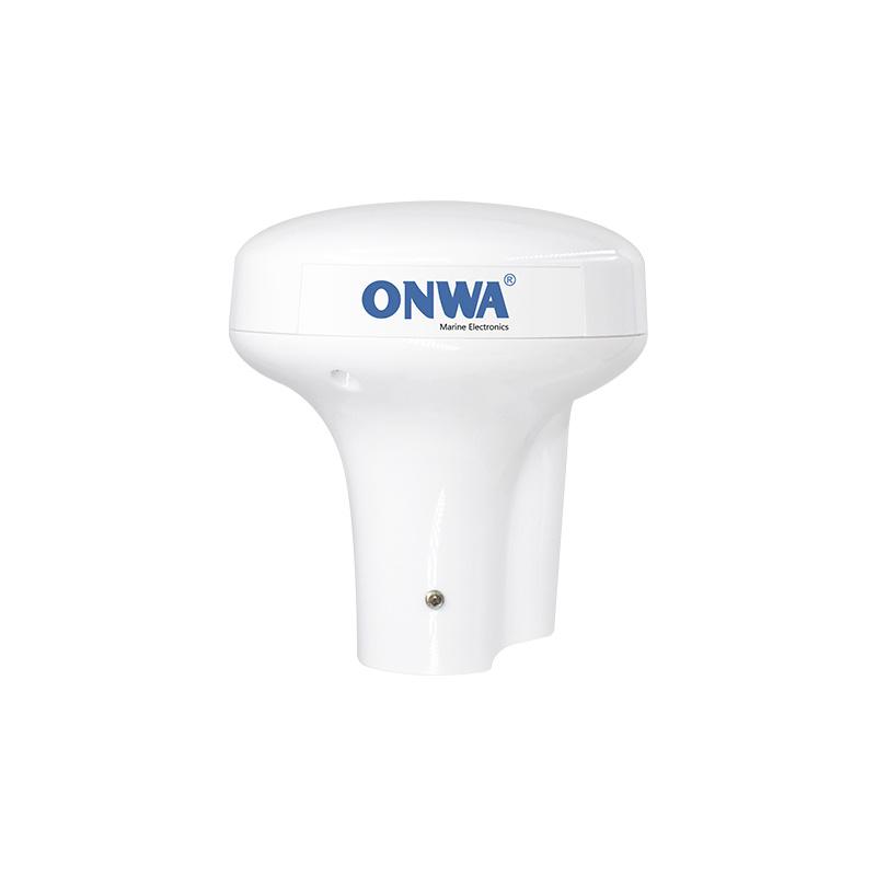
  • GPS Antenna with 10m Cable (SMA connector)
  • Mounting Brackets
  • Standard accessories pack (one power cable, 2 spare fuses, 2 mounting nuts*,4 desktop mounting screws, 4 panel mounting screws,one 8-pins data plug)
  • 8″ Display

  • Compatible with K-Chart, C-MAP Max and Navionics+
  • NMEA0183,NMEA200 Interface
  • GNSS: GPS+Beidou+Galileo+Glonass
  • 8″ Display

  • Compatible with K-Chart, C-MAP Max and Navionics+
  • NMEA0183,NMEA200 Interface
  • GNSS: GPS+Beidou
  • Built-in AIS:Class B+ 
  • 8″ Display

  • Compatible with K-Chart, C-MAP Max and Navionics+
  • NMEA0183,NMEA200 Interface
  • GNSS: GPS+Beidou+Galileo+Glonass
  • Built-in Fishfinder: Dual Frequency(50&200KHz)
  • 8″ Display

  • Compatible with K-Chart, C-MAP Max and Navionics+
  • NMEA0183,NMEA200 Interface
  • GNSS: GPS+Beidou
  • Built-in AIS:Class B+ 
  • Built-in Fishfinder: Dual Frequency(50&200KHz)
  • 12″ Display

  • Compatible with K-Chart, C-MAP Max and Navionics+
  • NMEA0183,NMEA200 Interface
  • GNSS: GPS+Beidou+Galileo+Glonass
  • 12″ Display

  • Compatible with K-Chart, C-MAP Max and Navionics+
  • NMEA0183,NMEA200 Interface
  • GNSS: GPS+Beidou
  • Built-in AIS: Class B+
  • 12″ Display

  • Compatible with K-Chart, C-MAP Max and Navionics+
  • NMEA0183,NMEA200 Interface
  • GNSS: GPS+Beidou+Galileo+Glonass
  • Built-in Fishfinder: Dual Frequency(50&200KHz)
  • 12″ Display

  • Compatible with K-Chart, C-MAP Max and Navionics+
  • NMEA0183,NMEA200 Interface
  • GNSS: GPS+Beidou
  • Built-in AIS:Class B+ 
  • Built-in Fishfinder: Dual Frequency(50&200KHz)
Contact