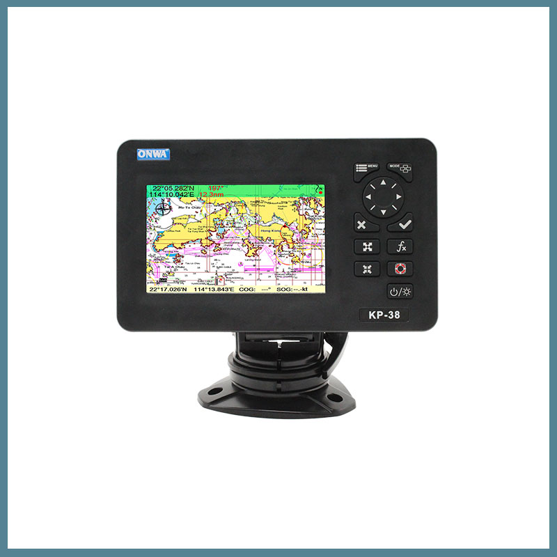
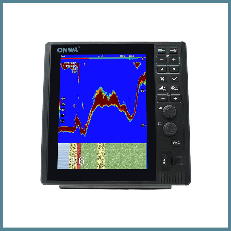
Chartplotter with Built-in AIS Onwa KR-38/39A
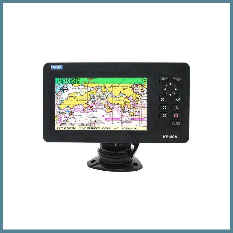
The Onwa KR-38A chartplotter from ONWA Marine is a universal navigation device, indispensable on vessels of various types. This Onwa chartplotter ensures navigational safety of navigation. It displays the location of the vessel on electronic maps, allows exchanging navigation and other data with other vessels and coastal services. The 5 and 7-inch color LCD plotter Onwa KR-38/39A has a built-in AIS transponder of class B+, a GPS antenna. The AIS is equipped with a VHF transmitter, two TDMA receivers of two VHF channels, an interface, a communication processor, and a GPS receiver. Thanks to the latter, the operator also receives position data, COG, SOG. The chartplotter supports K-Chart 2.0, K-Chart 3.0, C-Map Max, Navionics + maps. Compatible with GNSS GLONASS, GPS, Beidou, and Galileo.
The memory of this Onwa chartplotter can store 12,000 user waypoints, a maximum of 30 routes. It has an automatic track log for 8,000 points, allowing you to track the vessel’s route in both directions. The chartplotter display complies with the IPX5 protection class: it will withstand the effects of low-pressure water jets. The antenna has an IP66 protection rating: it is completely protected from dust and water penetration into the shell. A GPS receiver with 50 parallel channels continuously tracks the vessel’s location using data from up to 50 satellites. The Onwa KR-38A chartplotter complies with IMO requirements, the international standard IEC 60945.
Application areas
- Navigation. Ensures safe navigation by tracking and displaying the vessel’s location, course information, and maneuvers.
- Shipping. Chartplotter allows watercraft to exchange various data with other watercraft, shore services for the safety of navigation.
- Security, protection. Can be used to monitor suspicious activity, control transportation, patrol waters.
Reasons to buy
- Supports K-Chart 2.0, K-Chart 3.0, C-Map Max, Navionics + charts.
- Automatic route log for 8,000 points, ability to track the vessel’s route in both directions.
- GPS receiver with the ability to use data from 50 satellites.
- Compliance with IMO requirements, international standard IEC 60945.


AIS capabilities

Dimensions ( KP-38A)

Dimensions (KP-39A)

| Chartplotter | KP-38A, KP-39A |
Frequency band, MHz | 156.0125-158.0125 MHz; 160.6125-162.0375 MHz |
Frequency grid step, kHz | 25 |
Modulation | GMSK |
Radiated power, W | 1.0 |
Radiation class | G2B, F2D |
Radiation bandwidth at -30 dB level | 18.8 kHz |
AIS Channel 1 | 161.975 MHz (channel 87B) |
AIS Channel 2 | 162.025 MHz (channel 88B) |
Frequency deviation, kHz | ± 5 |
Frequency deviation | + 10 x 10⁻⁶ |
Carrier frequency power deviation, dB | ± 1.5 |
Parasitic radiation | |
9 kHz … 1 GHz | -36 dBm |
1 GHz … 4 GHz | -30 dBm |
Polarization | Vertical |
Receiver sensitivity | -123 dBm |
Modulation on reception | 1,300 Hz / 2,100 Hz FSK |
Receiver selectivity on adjacent channel, dB | not worse than 70 |
Receiver selectivity for side channels, dB | not worse than 70 |
Antenna type, dB | pin, gain=3 dB |
Polarization | vertical |
Transmission speed | 1200 bps |
Transponder type | digital |
Receiver sensitivity | -123 dBm |
Modulation on reception | 1,300 Hz / 2,100 Hz FSK |
Receiver selectivity for side channels | not worse than 70 dB |
GPS antenna “KA-07” | |
Number of channels | 50 |
GPS receiver operating frequency | 1575.42 MHz + 1.023 MHz |
Frequency of information output | 1 Hz |
Accepted class of radiation | 11M5G1D |
Frequency stability – long term | 1 x 10⁻⁶ |
Accuracy of location determination | 5 m |
