New
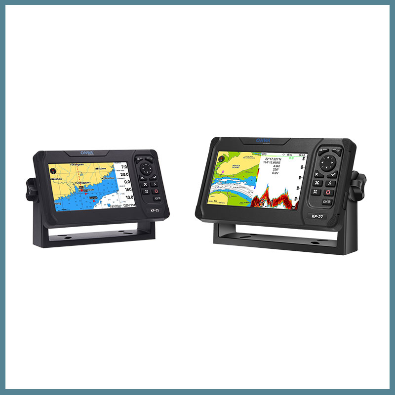
Морские картплоттеры ONWA серии KP-25/27
Enjoy sailing in open waters
Set sail into the open waters and embrace the freedom of the sea with ONWA’s KP Series Chartplotters. Designed for precision and ease of use, these chartplotters offer high-resolution touchscreens, accurate GPS positioning, and real-time weather updates, ensuring a safe and enjoyable sailing experience. Whether you’re navigating familiar routes or exploring new horizons, the ONWA KP Series is your reliable companion for all maritime adventures. Experience the thrill of open water with confidence and control.
Compact, Convenient and also Powerful
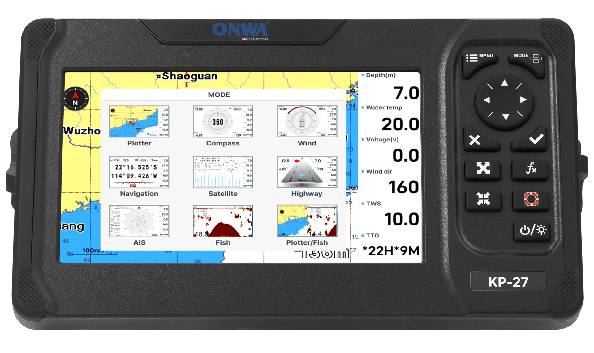
Our KP-25/27 series chartplotters offer up to 9 different display functions, allowing you to freely enjoy the open waters. With a basic GPS antenna, you can easily plot your charts, plan your navigation, and measure your speed.

Trustworthy Cruising Companion
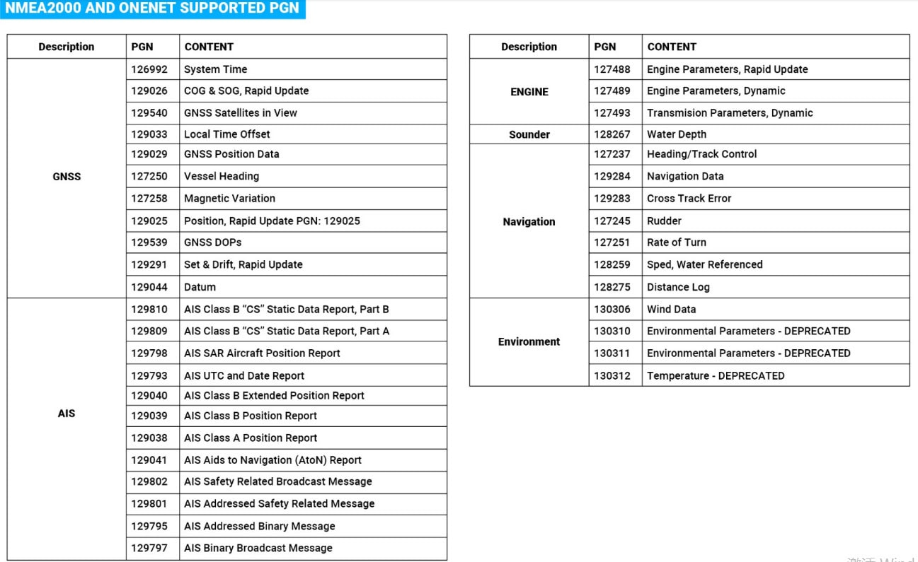
Select your preferred charts for planning and navigation, with support for K-Chart 2.0/3.0 , Navionics, and C-MAP MAX. The built-in AIS system effectively helps you avoid nearby vessels, while the integrated sonar system provides clear underwater imaging, aiding in fish finding and avoiding grounding. With support for NMEA 0183 and NMEA 2000 connections, it offers more convenient data transmission capabilities.
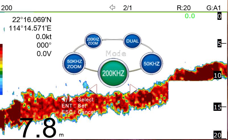
- Dual Freqeuncy: 50 and 200kHz (alternately transmitted)
- Automatic Range and Gain adjustment depending on usage (Cruising or Fishing)
Excellent Sea-bed Discrimination and easily identify fishes and schools of fish
Exact depth to where the school of fish is shown for ease of fishing
Built-in AIS Features ( For KP-25/27 A,X Models )
- SOTDMA Technology -Same technology used by Class A -Guaranteed time slot allocation
- 5W Transmission Power– increases the range and AlS Satellite reception enabling Global tracking
- Increased Transmission Rate (Based on speed)
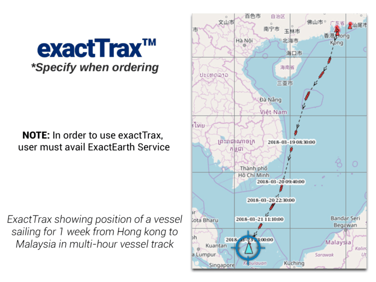
- exactTrax™: exactTrax Tracking
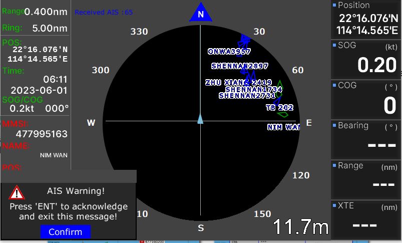
CPA and TCPA Alarm
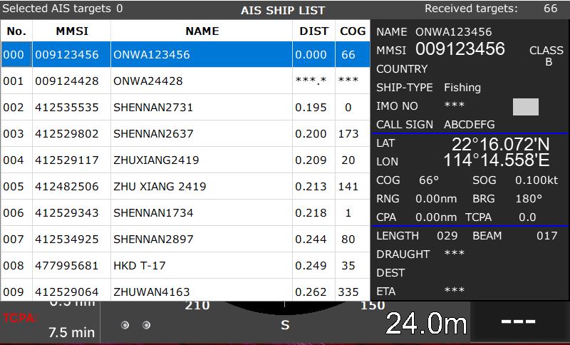
Vessel List
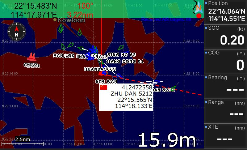
AlS Targets Overlay in the Plotter Screen
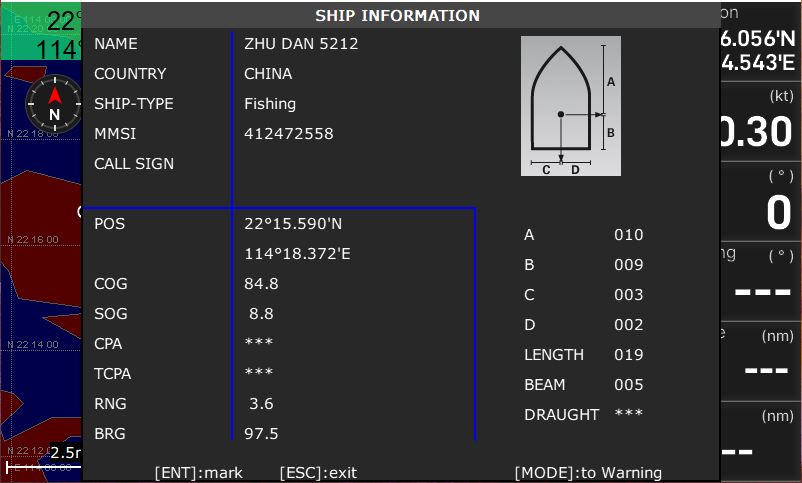
SHIP INFORMATION
ONE DISPLAY- NINE POSSIBILITIES
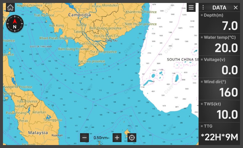
PLOTTER
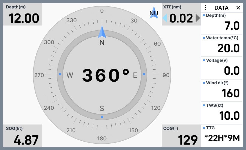
COMPASS
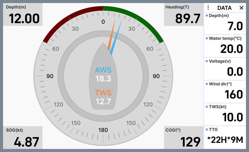
WIND
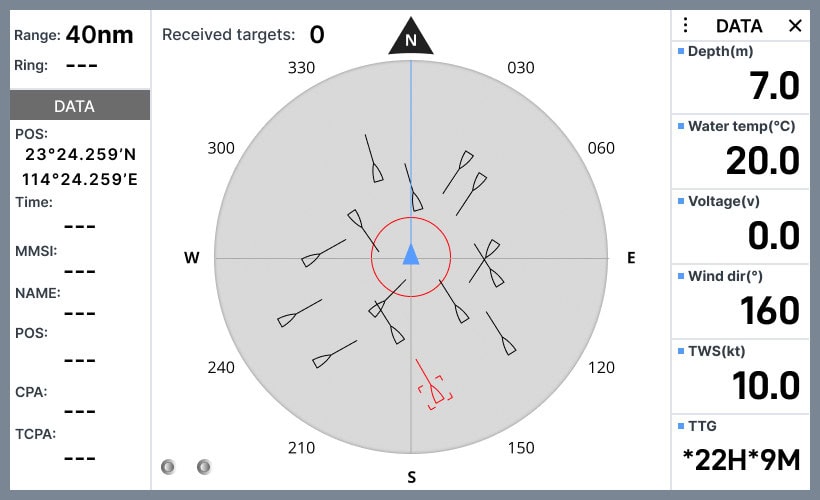
AIS
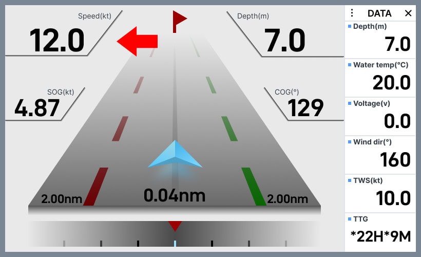
PLOTTER&FINSHFINDER
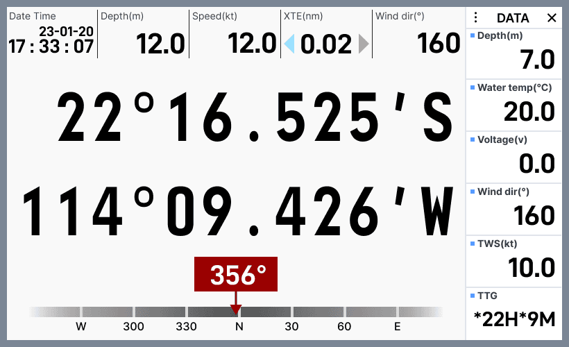
NAVIGATION
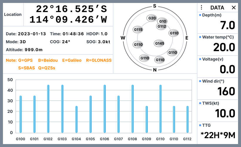
SATELLITE
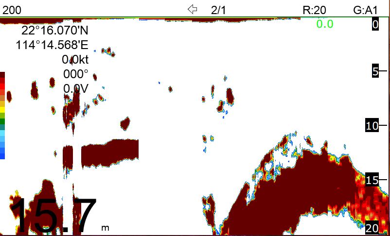
FISHFINDER

PLOTTER/FISHFINDER
Unbelievably Affordable Price
- Simple, Convenient, and Fast-Responding Operating System;
- Weatherproof Display with Adjustable Brightness and Day/Night Modes;
- Includes a Free, Precise GNSS Patch Antenna;
KP-25 SERIES | KP-27 SERIES | |
Size | 143.1mm(H)X215.3mm(W)X63.1mm(D) | 155.1mm(H)X241.3mm(W)X62.9mm(D) |
Weight | 1.0 kg | 1.3 kg |
Display | 5-inch Color TFT dayview LCD, 800×480 pixels | 7-inch Color TFT dayview LCD, 800×480 pixels |
Waterproofing | Display unit (Front Panel): IP66 | Display unit (Front Panel): IP66 |
Temperature range | Display unit: -15℃ to +55℃ | Display unit: -15℃ to +55℃ |
Waypoints/icons | 12,000 user waypoints with name, symbol, |
Routes | 30 routes waypoint up to 170 points each, |
Tracks | 16,000 points automatic track log; |
Alarms | XTE, Anchor drag, arrival, speed, voltage, proximity waypoint, |
Drawing | 1000 Drawing Marks; 2000 Drawing Lines (40 points each); |
Pallete | Normal |
Tides | Built-in Worldwide Tide Data |
Position Format | Lat/Lon |
Basemap | Worldwide |
External Map | Compatible with K-Chart 2.0, K-Chart 3.0, C-Map Max and Navionics+ |
User Data Storage | Internal backup of user settings or external SD-card |
Plot Interval | 5secs to 60 mins or 0.01 to 10nm |
Plotting Scales | 0.001 to 700nm |
AIS | 700 targets display |
AIS Target Tracking | 10 Manually saved tracks (300 points each) |
AIS Messaging | ONWA AIS to ONWA AIS |
Perspective view | On/off (available for C-Map only) |
Celestial | Sunrise/Sunset Moonrise/Moonset |
Power Supply | 10.5 to 34VDC, current drain <1.0A at 12V |
Receiver | 50 parallel channel GNSS receiver continuously tracks and |
Acquisition time | Cold start: 29 seconds |
Update rate | 1 second |
Accuracy | Position:3 meters(95%) without S/A |
SBAS | Supported |
GNSS | GPS and Beidou |
Dynamics | Altitude: 18,000 m |
Datum | WGS 84 & user defined |
Антенна | GPS Patch Antenna |
GPS Interface (NMEA0183) |
|
GPS Data | RS422 input/output, NMEA 0183 V3.01 and V4.11 |
GPS Input Baudrate | Auto Scan (4800, 9600, 19200 and 38400) |
GPS Output Baudrate | Selectable among 4800, 9600, 19200 and 38400 |
AIS Interface (NMEA0183) | |
AIS Data | RS232 output VDO, VDM, GGA, GSA, GSV and RMC |
AIS Output Baudrate | 38,400 |
AIS Characteristics | |
Frequency Rate | 156.025 MHz~162.025 MHz |
Access Scheme | SOTDMA |
Channel Bandwidth | 25 KHz |
Modulation | GMSK |
Data Rate | 9,600 bps |
Number of AIS Transmitter | 1 |
Number of AIS Receiver | 2 |
AIS Channel 1 | CH 87B (161.975 MHz) |
Echo Color | 16 colors (including background color) according to echo intensity. The background color is selectable from blue, light blue, white and black |
Basic Range | Meters 5/10/20/40/80/150/200/300/600/1000 |
Range Shift | Up to 1000 meters (3000 feet,600 fathoms) |
Zoom Range | Times 2,3,4 and 6 ranges |
Bottom Lock Expansion Range | 5/10 meters,10/20 feet,2/5 fathoms |
Auto Mode | Automatic adjustment of range and gain |
Display Mode | High Frequency (200K),Low Frequency (50K), Dual (200K and 50K 1/2 display on each), |
Zoom Display | Marker Zoom, Bottom Zoom and Bottom-lock Expansion |
Display Advance Speed | Lines/TX:Freeze, 1/8, 1/4, 1/2, 1/1, 2/1, 4/1, 6/1,8/1 and 10/1 |
TX Frequency | 50 and 200kHz (alternately transmitted) |
Power Output | 600W |
Interference Rejecter | Rejects unwanted signals by comparing last and present echoes in strength. |
Alarm | Fish and Bottom alarms, |
INPUT | (Auto scan Baudrate) |
OUTPUT | Baudrate: Selectable 4800, 9600, 19200, 38400 |
OUTPUT for Autopilot | APA, APB, BOD, XTE |
WHAT’S IN THE BOX?
- Display unit
- Quick manual
- GPS Patch Antenna with 4m
- Cable (SMA connector)
- Mounting Brackets
- Standard accessories pack
KP-25/27 SERIES MODELS COMPARISON
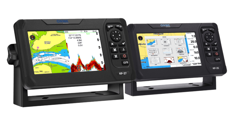
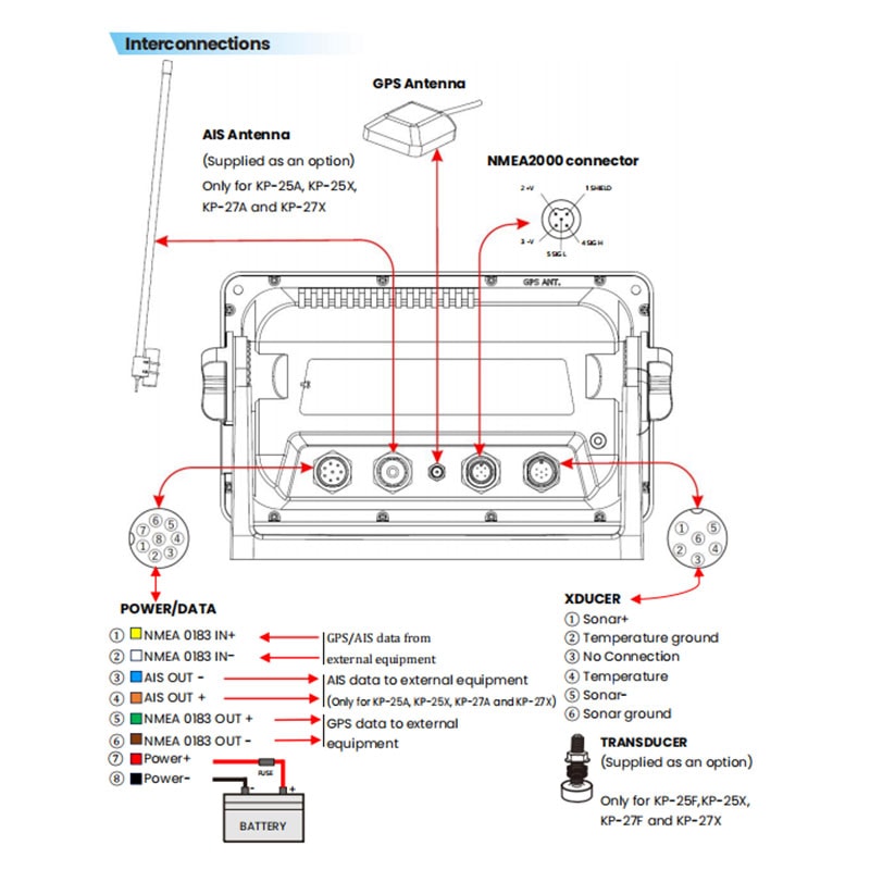
The 25 and 27 series models have the same features except for the screen size. The number of interfaces on the back varies depending on the model.
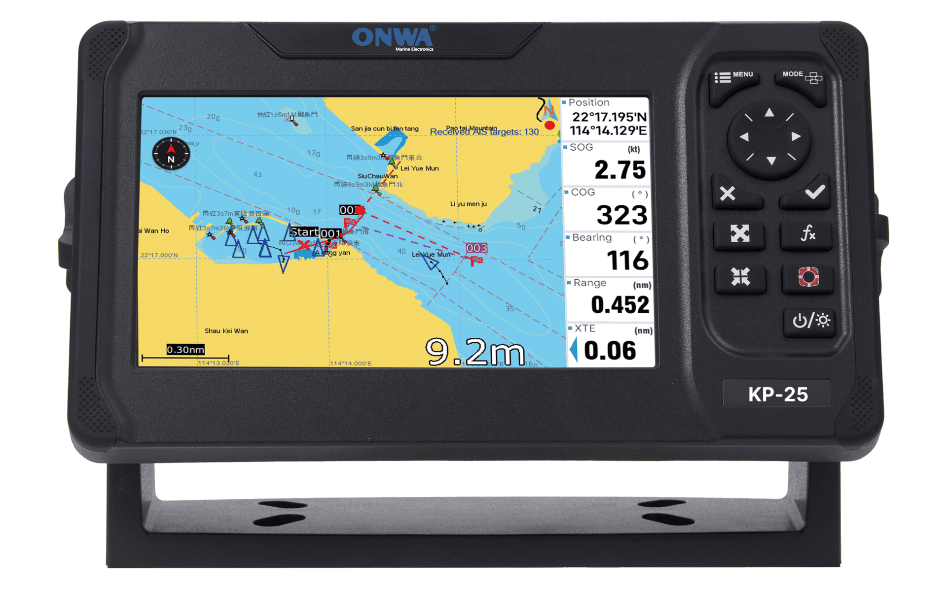
KP-25 |
Read More
5″ Display
- Compatible with K-Chart, C-MAP Max and Navionics+
- NMEA0183,NMEA200 Interface
- GNSS: GPS+Beidou+Galileo+Glonass
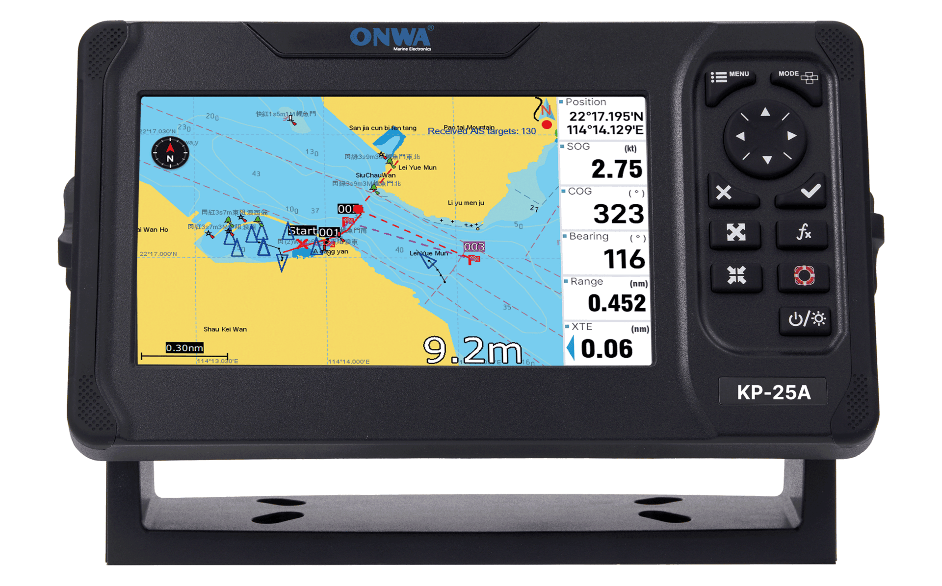
KP-25A |
Read More
5″ Display
- Compatible with K-Chart, C-MAP Max and Navionics+
- NMEA0183,NMEA200 Interface
- GNSS: GPS+Beidou
- Built-in AIS:Class B+
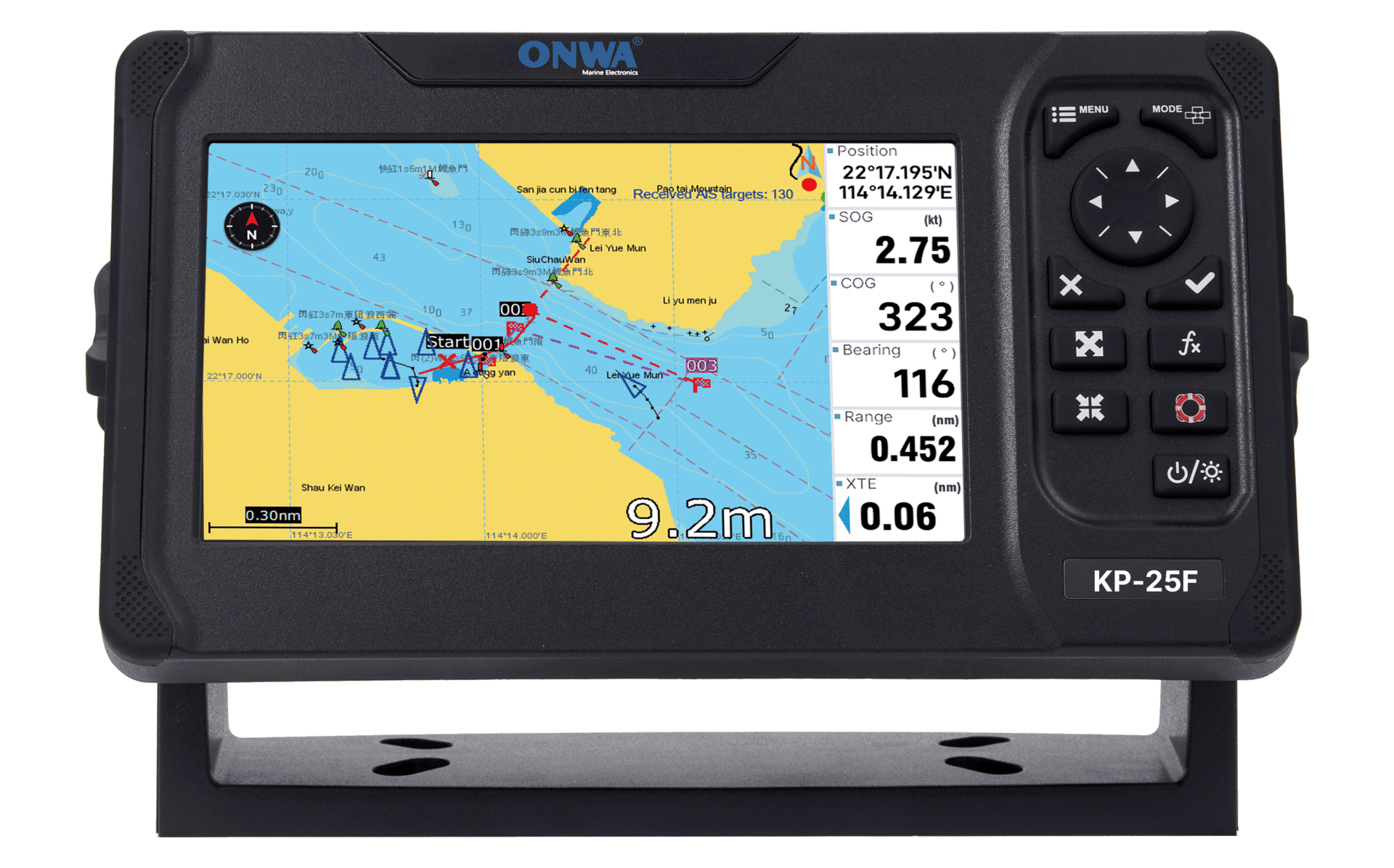
KP-25F |
Read More
5″ Display
- Compatible with K-Chart, C-MAP Max and Navionics+
- NMEA0183,NMEA200 Interface
- GNSS: GPS+Beidou+Galileo+Glonass
- Built-in Fishfinder: Dual Frequency(50&200KHz)
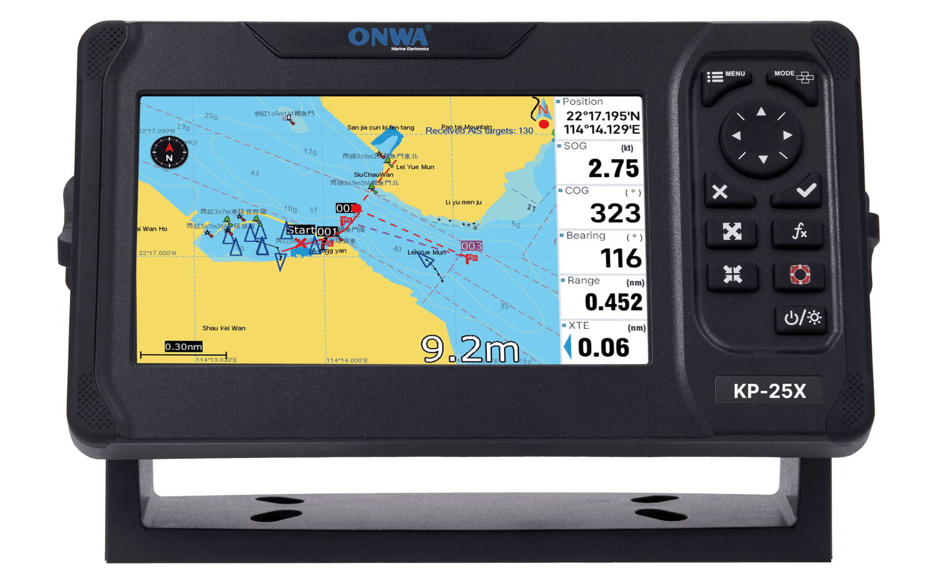
KP-25X |
Read More
5″ Display
- Compatible with K-Chart, C-MAP Max and Navionics+
- NMEA0183,NMEA200 Interface
- GNSS: GPS+Beidou
- Built-in AIS:Class B+
- Built-in Fishfinder: Dual Frequency(50&200KHz)
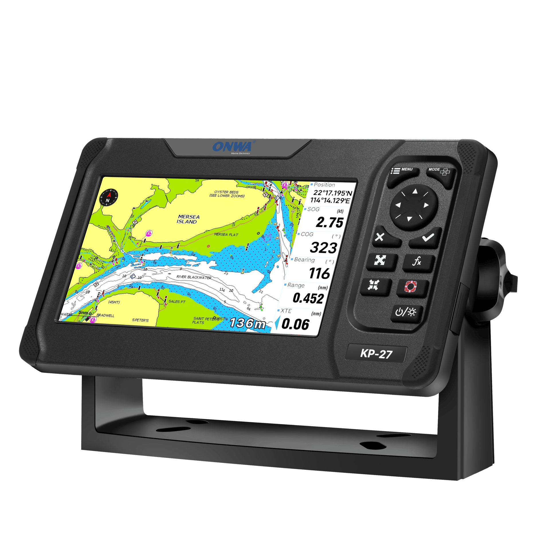
KP-27 |
Multifunctional chart plotter
Read More
7″ Display
- Compatible with K-Chart, C-MAP Max and Navionics+
- NMEA0183,NMEA200 Interface
- GNSS: GPS+Beidou+Galileo+Glonass

KP-27A |
Multifunctional chart plotter + Built-in AIS
Read More
7″ Display
- Compatible with K-Chart, C-MAP Max and Navionics+
- NMEA0183,NMEA200 Interface
- GNSS: GPS+Beidou
- Built-in AIS: Class B+
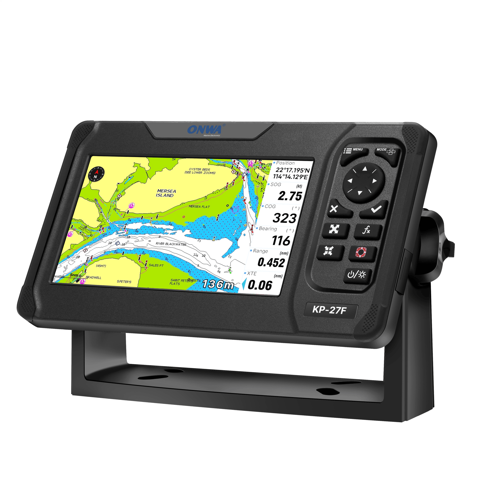
KP-27F |
Read More
7″ Display
- Compatible with K-Chart, C-MAP Max and Navionics+
- NMEA0183,NMEA200 Interface
- GNSS: GPS+Beidou+Galileo+Glonass
- Built-in Fishfinder: Dual Frequency(50&200KHz)
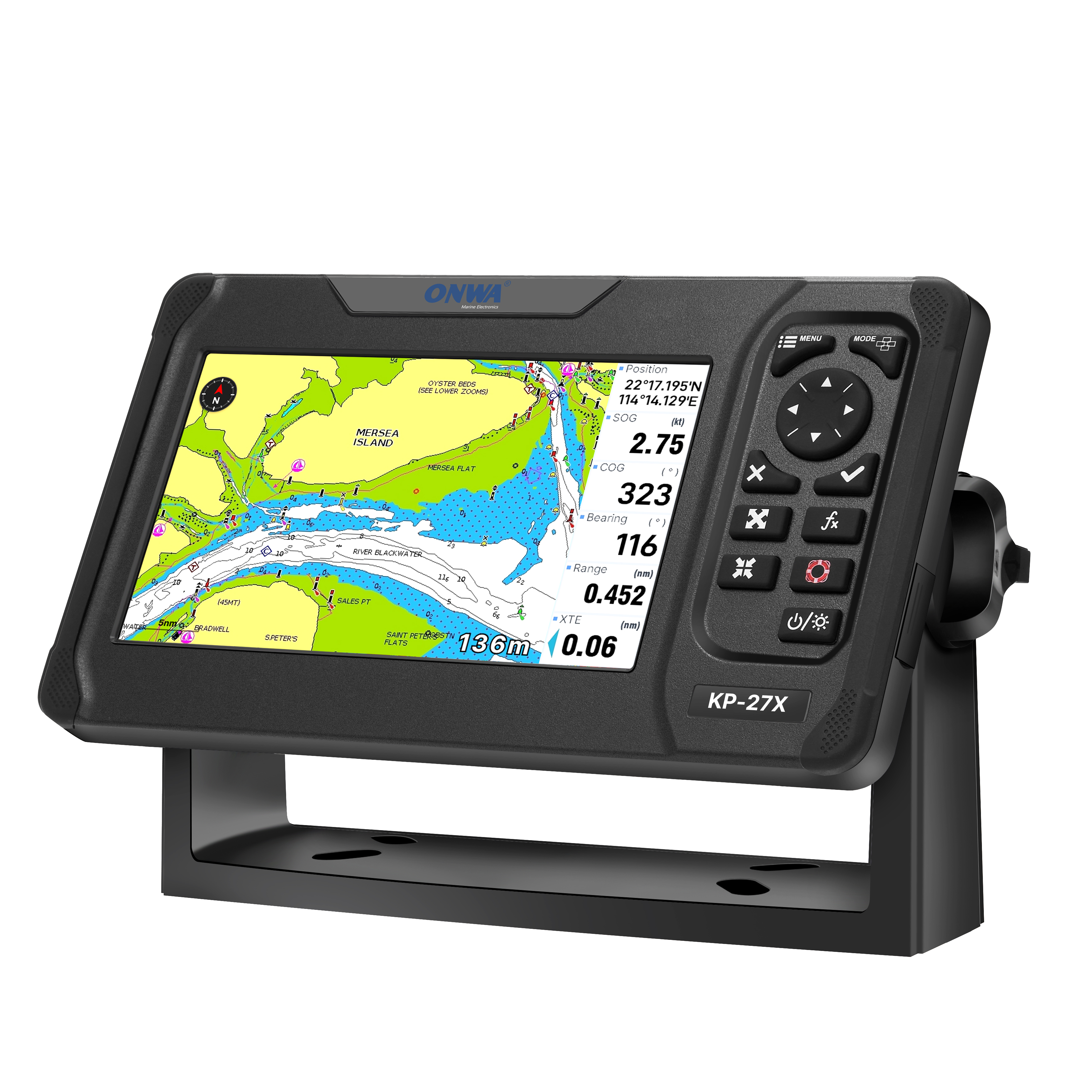
KP-27X |
Read More
7″ Display
- Compatible with K-Chart, C-MAP Max and Navionics+
- NMEA0183,NMEA200 Interface
- GNSS: GPS+Beidou
- Built-in AIS:Class B+
- Built-in Fishfinder: Dual Frequency(50&200KHz)


