

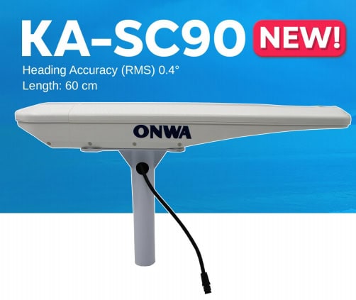
Satellite compass KA-SC90
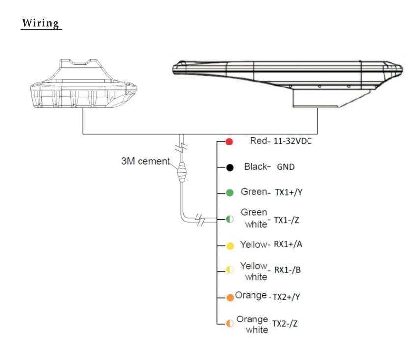
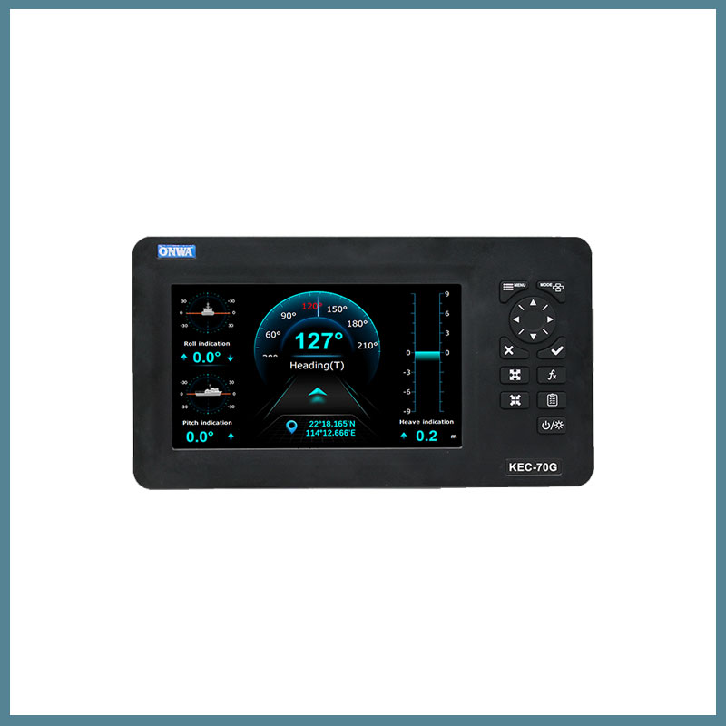
The ONWA KA-SC90 satellite compass allows you to determine the location and course of a vessel in any weather conditions with maximum accuracy. The accuracy of the KA-SC90 satellite compass data is reliable at any turns of the vessel, pitching. The navigation device provides more accurate orientation, thanks to the carrier phase decoding technology before commissioning. The compass uses data from the Beidou and GPS satellite systems.
The satellite compass features fast start-up, signal capture, and requires no maintenance due to the absence of mechanical parts in the design. The accuracy of the course characteristics is guaranteed by the built-in gyroscope compensation system. The multi-channel NMEA0183 output signal ensures high stability, accuracy of course data, and vessel location. Data is updated up to 50 times per second.
The ONWA KA-SC90 compass is suitable for use in difficult marine conditions. It can withstand temperatures from -30°C to +70°C and meets IP56 protection rating. The navigation device is compact, easy to install and operate. For better data stability, the technology of preliminary filtering of speed and course is used. The compass provides positioning accuracy of up to 2.5 m.
Applications of KA-SC90
- Navigation. An electronic compass helps ensure safe navigation by providing information about the vessel’s course, roll, trim, etc.
- Shipping. Increases the level of safety of ships, passengers, crew, cargo, displaying accurate information about the course, location of the vessel.
Reasons to buy
- Wide range of operating temperatures.
- Degree of protection IP56.
- Fast start, signal capture, course update up to 50 times per second.
- Built-in gyroscope compensation system.
- Receiving data from satellite systems Beidou, GPS.
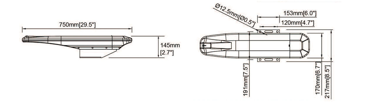
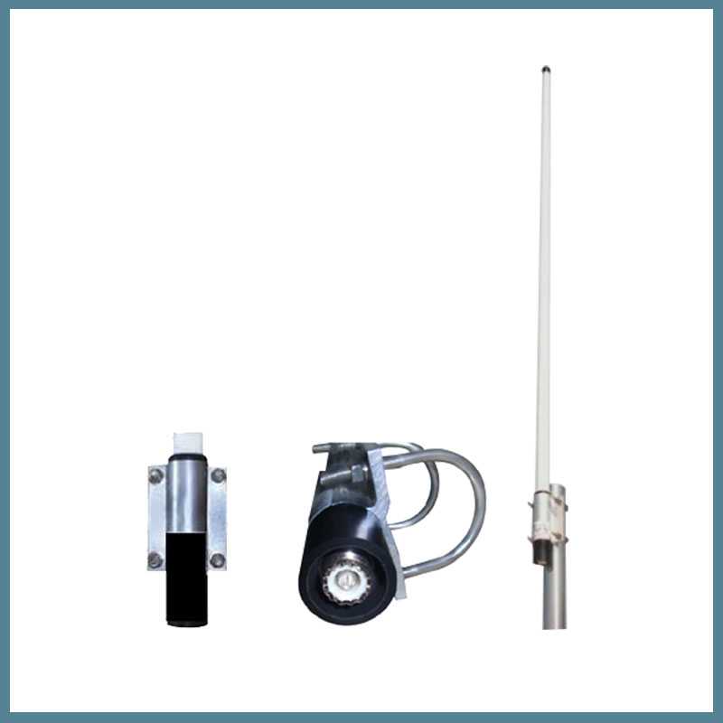
Dimensions