
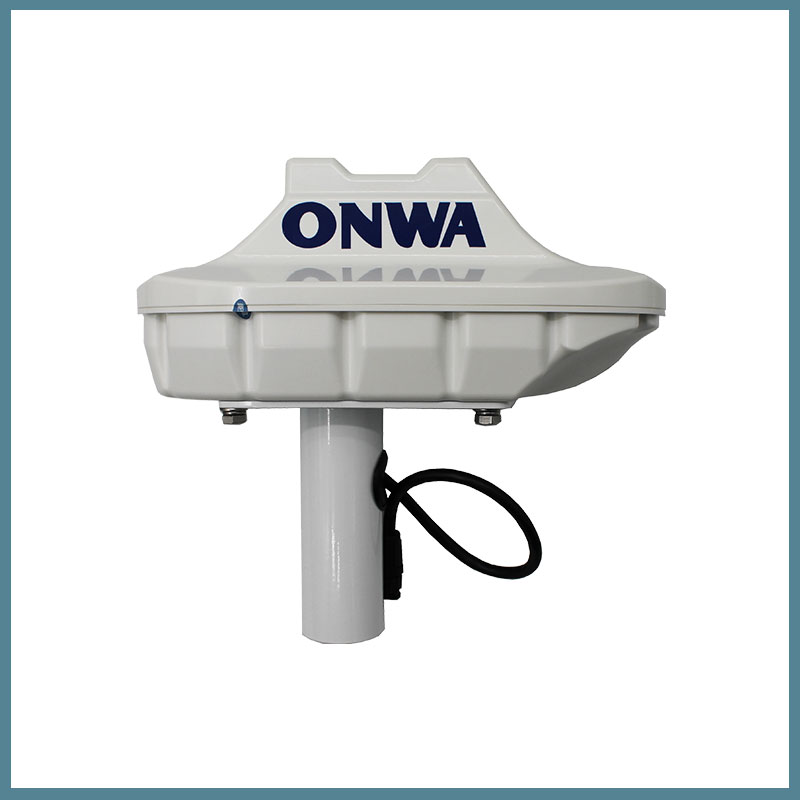

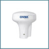
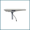
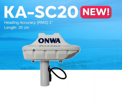
Satellite compass KA-SC20
The ONWA KA-SC20 satellite compass allows you to determine the location and course of your vessel in any weather conditions with maximum precision. The KA-SC20 satellite compass provides positioning accuracy of up to 2.5 m. The navigation device provides better data stability thanks to the speed and course pre-filtering technology. The accuracy of the course characteristics is guaranteed by the built-in gyroscope compensation system.
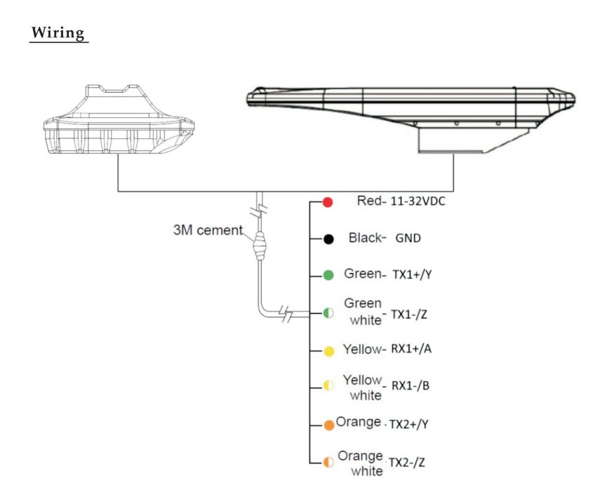
The satellite compass uses data from the Beidou and GPS satellite systems. It features fast startup, signal capture, course update up to 50 times per second, and a turn speed of up to 90°/s. The multi-channel standard output signal NMEA0183 of the KA-SC20 compass provides high stability and accuracy of course and vessel location data. The device is suitable for use in difficult marine conditions. It withstands temperatures from -30°C to +70°C and exposure to water.
The ONWA satellite compass uses decoding technology before commissioning to ensure more accurate orientation. The compass does not require additional maintenance due to the absence of mechanical parts in the design.
Applications of KA-SC20
- Navigation. An electronic compass helps ensure safe navigation by providing information about the vessel’s course, roll, trim, etc.
- Shipping. Increases the level of safety of ships, passengers, crew, cargo, displaying accurate information about the course, location of the vessel.
Reasons to buy
- Wide range of operating temperatures.
- Degree of protection IP56.
- Fast start, signal capture, course update up to 50 times per second.
- Built-in gyroscope compensation system.
- Receiving data from satellite systems Beidou, GPS.
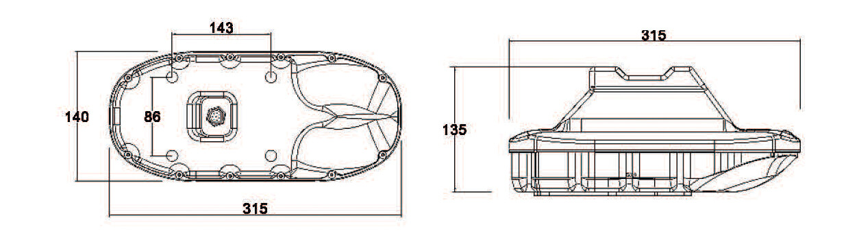
Dimensions