Your Privacy Matters to Us
When you subscribe to our newsletter, we collect only the information you choose to provide—typically your email address. We use this information solely to:
- Send you updates about our products, services, and news
- Share special offers or event invitations
- Improve your experience with our content
How We Protect Your Data
Your information is securely stored and managed through Mailchimp, our trusted email platform. Mailchimp processes your data in compliance with their Privacy Policy.
We never sell, rent, or share your personal information with third parties for marketing purposes.
Your Control Over Your Data
You can unsubscribe anytime by clicking the “Unsubscribe” link at the bottom of any email.
You can also request to update or delete your information by contacting us at info@onwamarine.com.
Key Products
Explore ONWA Marine Electronics
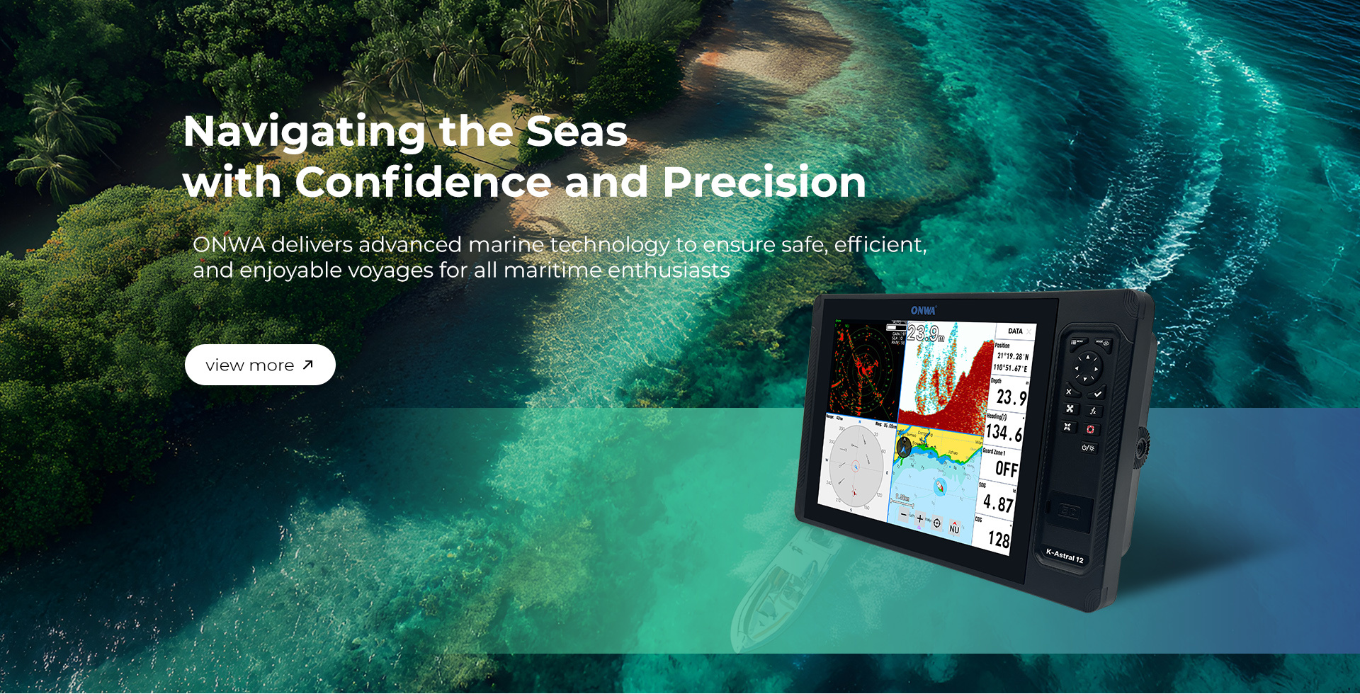
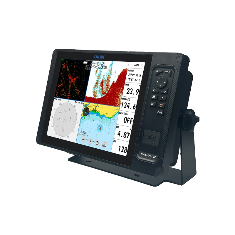
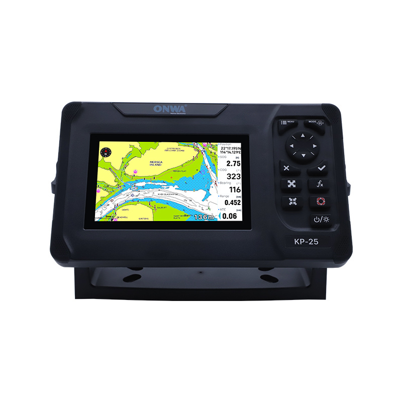
Chart your course with precision and clarity.
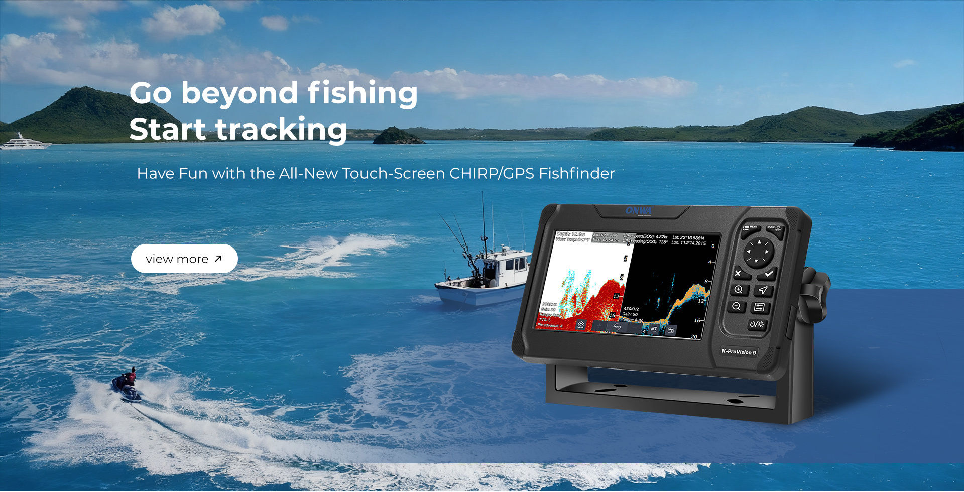
Locate and track fish with incredible accuracy and speed.
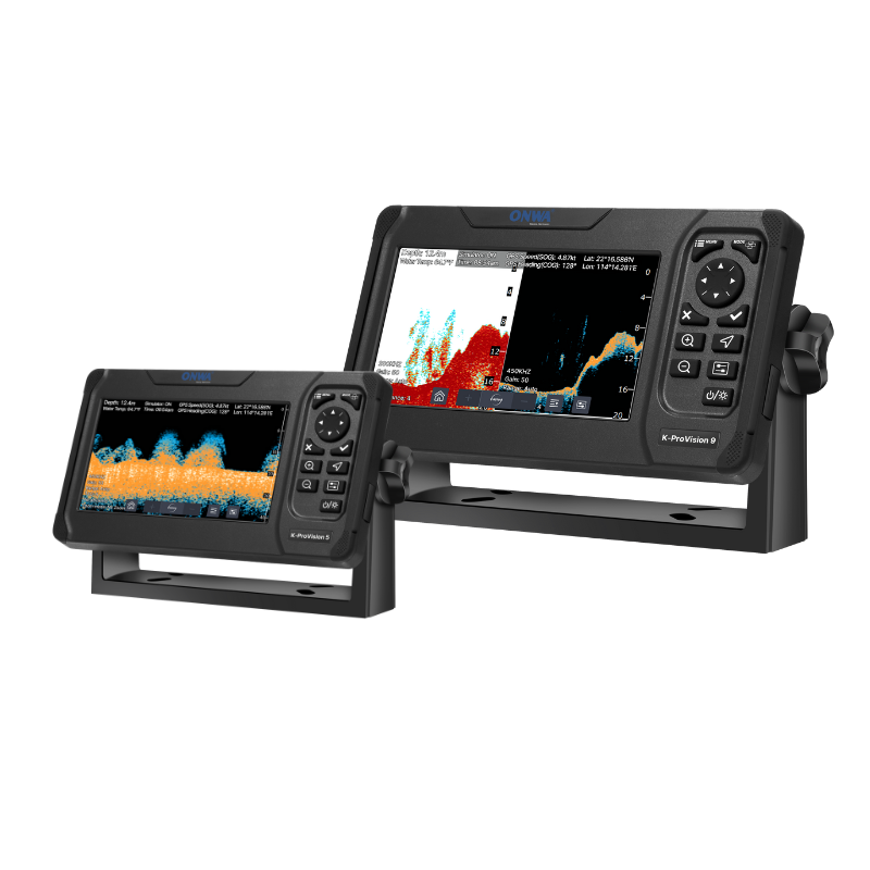
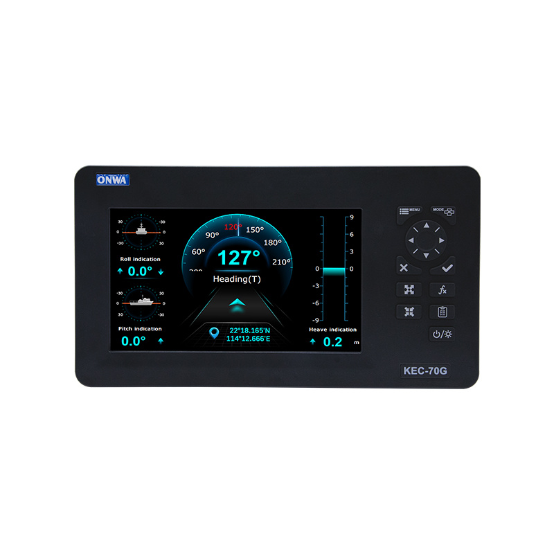
Detect and avoid hazards instantly and effectively.
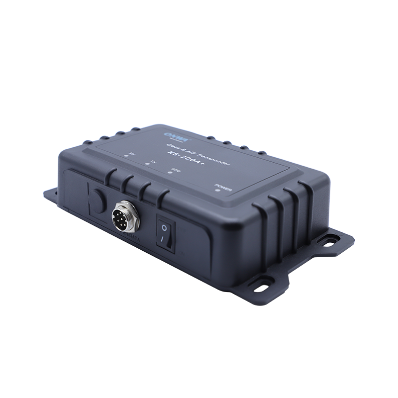
Ensure visibility and safety in every maritime journey.
Solution
Smarter Surveillance. Safer Waters.
From marine ranches to offshore wind farms, from bridges to remote islands—our system keeps every corner secure, 24/7
NEWS
Understanding AIS Transponders: Essential Tools for Maritime Safety
Automatic Identification System (AIS) transponders are sophisticated electronic devices designed to improve maritime navigation and safety by facilitating real-time data exchange between vessels and shore-based authorities. These devices play a crucial role in preventing maritime accidents and ensuring efficient vessel traffic management. An AIS transponder operates by automatically sending and re
How Pulse Compression Enhances Marine Radar Performance: A Comprehensive Guide
How Pulse Compression Enhances Marine Radar Performance Understanding Marine Radar Systems Marine radar systems play a crucial role in ensuring the safety and navigation of vessels at sea. They provide real-time information about the environment, including the presence of other ships, land masses, and obstacles. The effectiveness of these radar systems relies heavily on their ability to proces
Unlocking the Depths: The Benefits of GPS Chirp Fish Finders for Marine Electricians
GPS chirp fish finders have revolutionized the way anglers and marine professionals locate fish beneath the surface. By utilizing advanced sonar technology, these devices provide a clearer and more detailed underwater view compared to traditional fish finders. For marine electricians and professionals in the specialized instruments sector, understanding the features and advantages of GPS chirp fis
Boat Radar Antenna: Enhancing Marine Safety and Navigation
Customize boat radar antenna from China offers durable, high-performance solutions for accurate marine navigation and safety
Chartplotter Fishfinder Combo: Revolutionizing Marine Navigation and Fishing Efficiency
Wholesale chartplotter fishfinder combo suppliers offer reliable, high-quality devices for efficient marine navigation and fishing
NMEA Converter: Bridging Marine Electronics for Seamless Navigation and Communication
Advanced NMEA converter manufacturers provide reliable, high-performance devices for seamless marine electronics integration

