

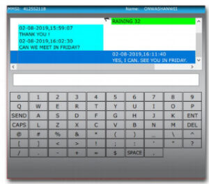
Chat Sample
(Speaker icon shown when sent message is sent via Broadcast)
Chat History
Can be viewed once specific MMSl is selected
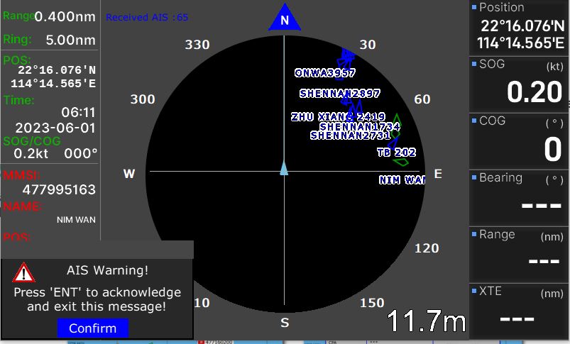
CPA and TCPA Alarm
Alarm that helps the user to be aware of nearby vessels stating possible CPA and TCPA.
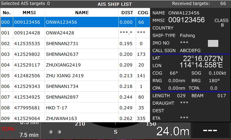
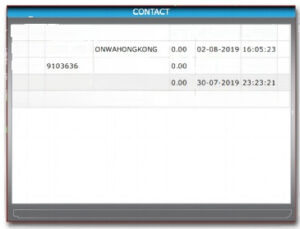
Vessel List
Shows nearby vessels,distance to your vessel and information.Selecting a target from the
list shows the vessels details
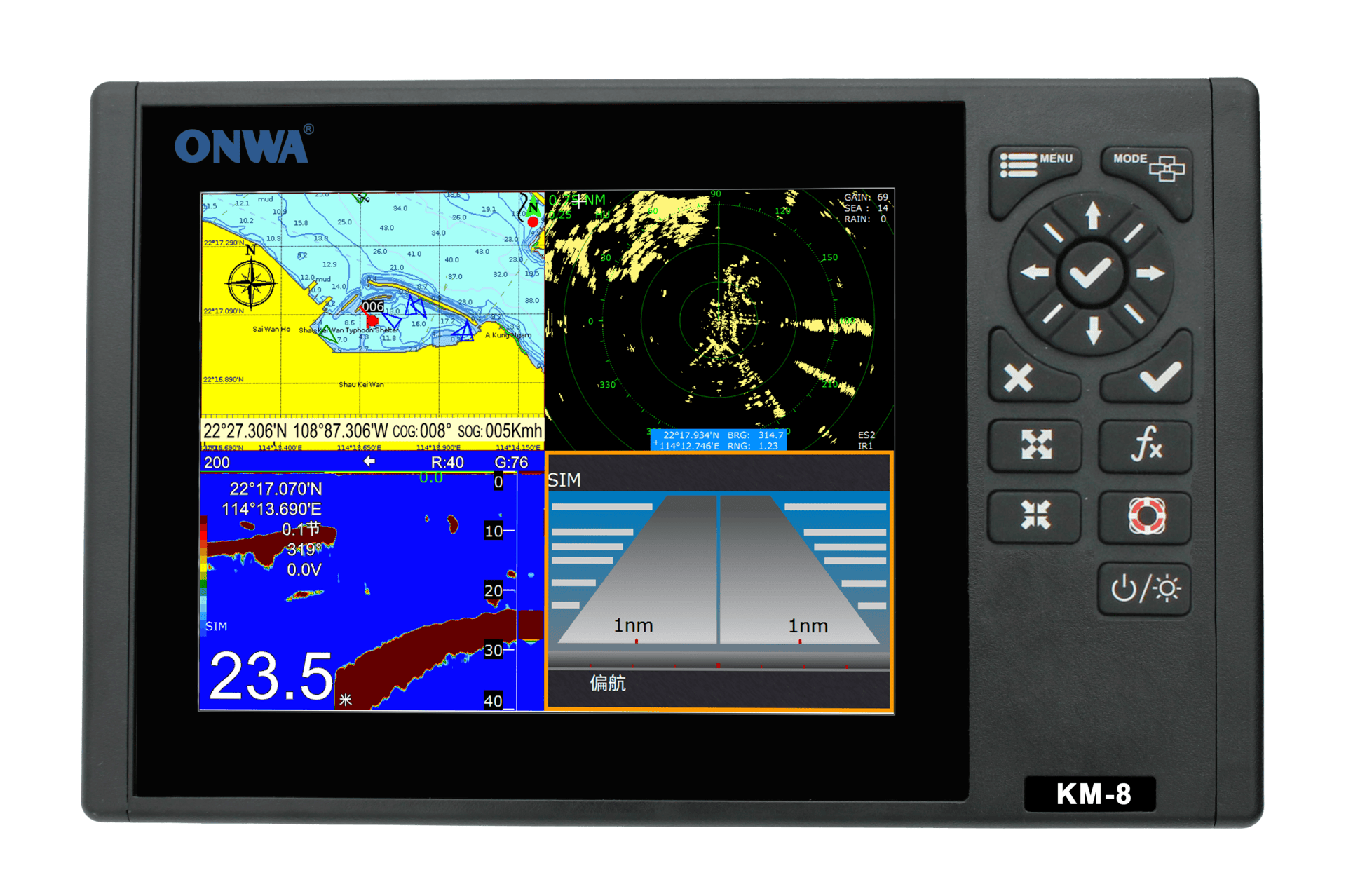
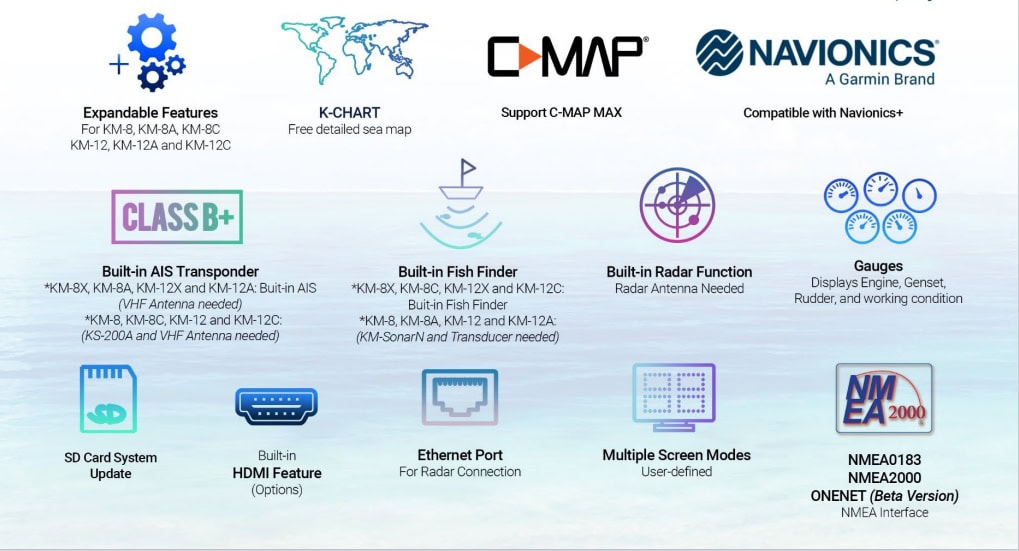
KM-8 |
Multifunctional chart plotter with Radar function
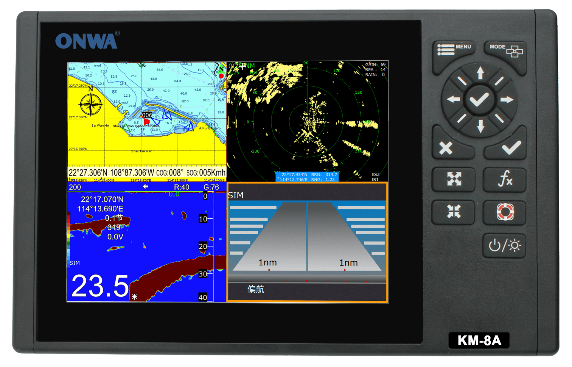
KM-8A |
Multifunctional chart plotter with Radar function + Built in AIS

KM-8C |
Multifunctional chart plotte with Radar functionr + Built-in Fishfinder
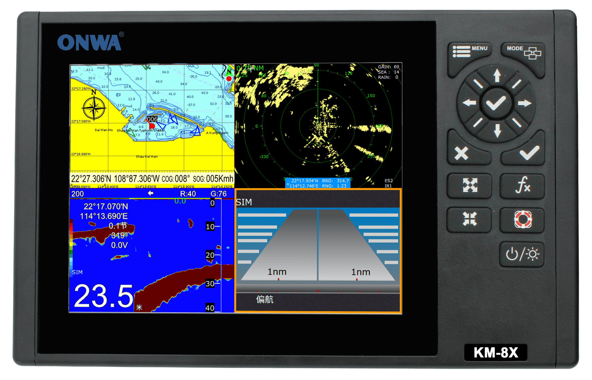
KM-8X |
Multifunctional chart plotter + Built-in AIS + Built-in Fishfinder
KM-12 |
Multifunctional chart plotter with Radar function
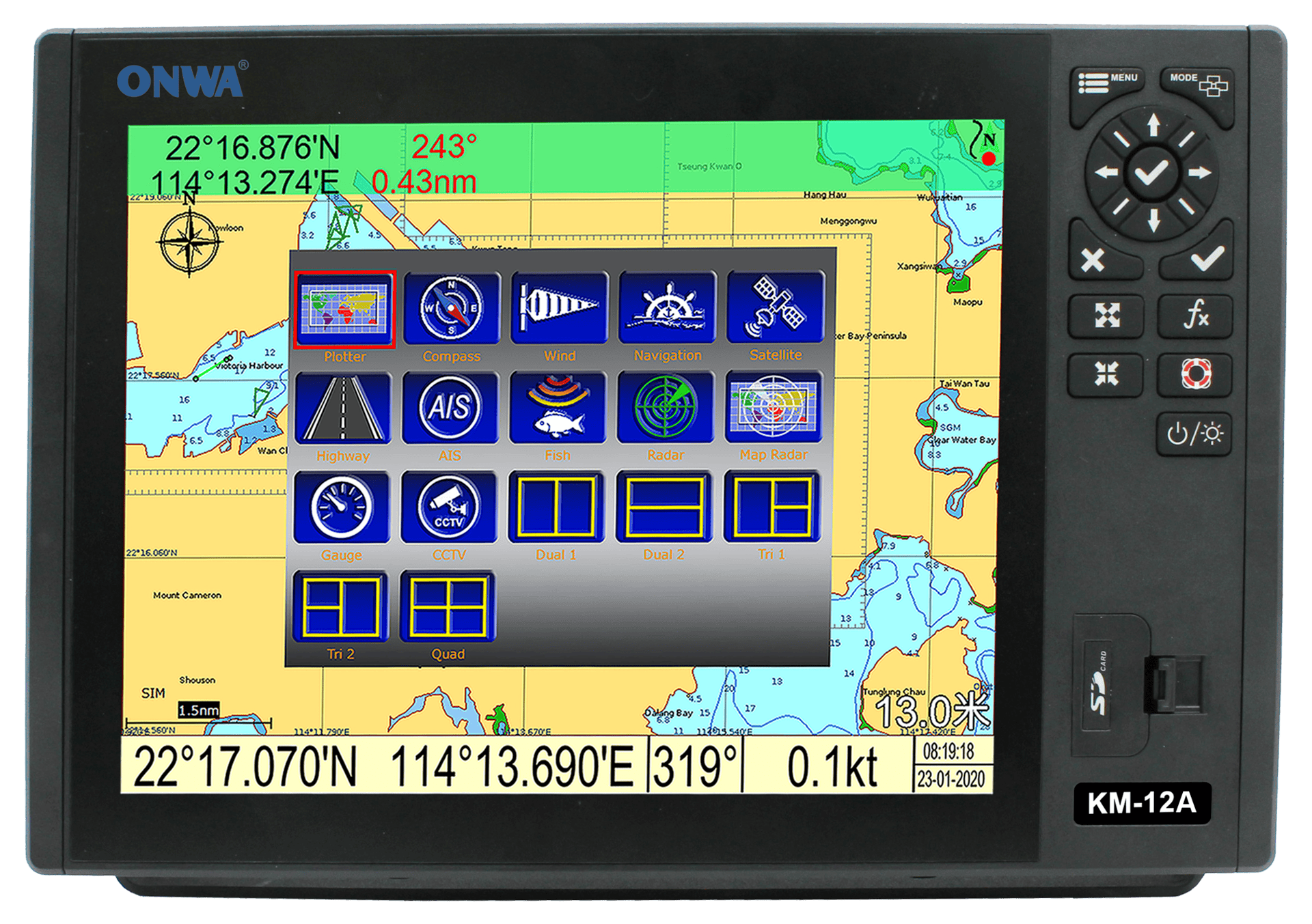
KM-12A |
Multifunctional chart plotter with Radar function + Built-in AIS
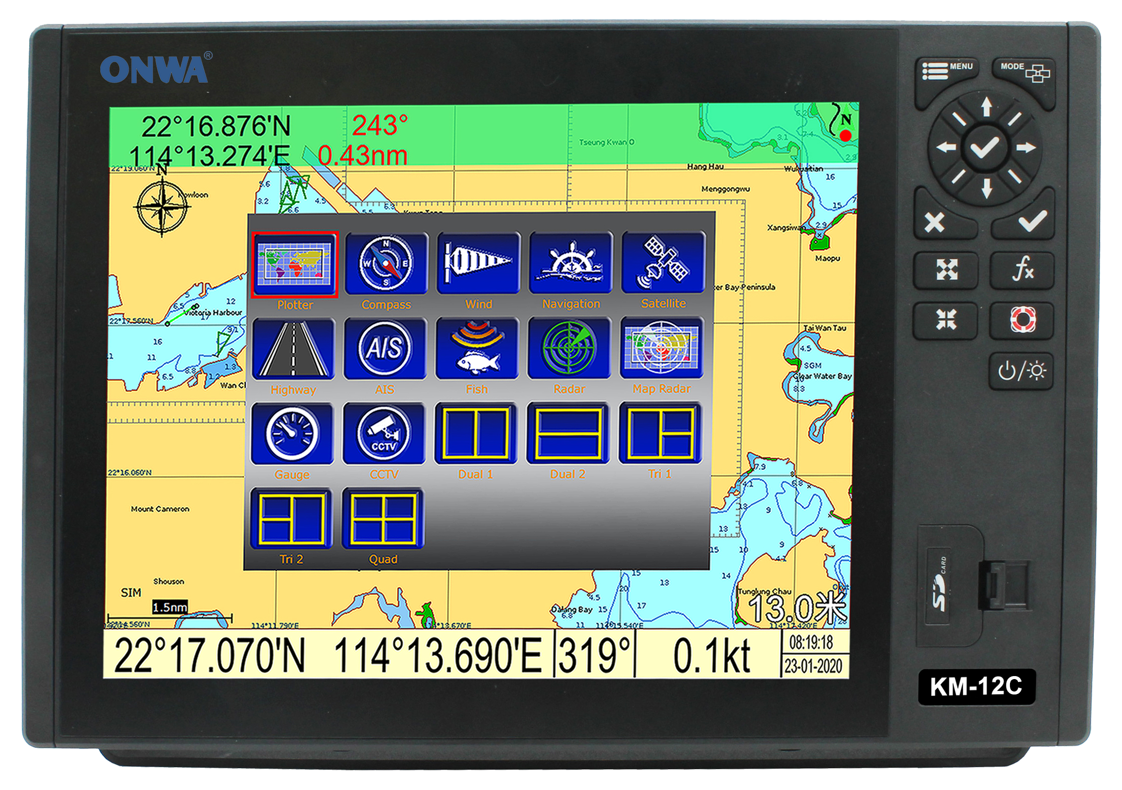
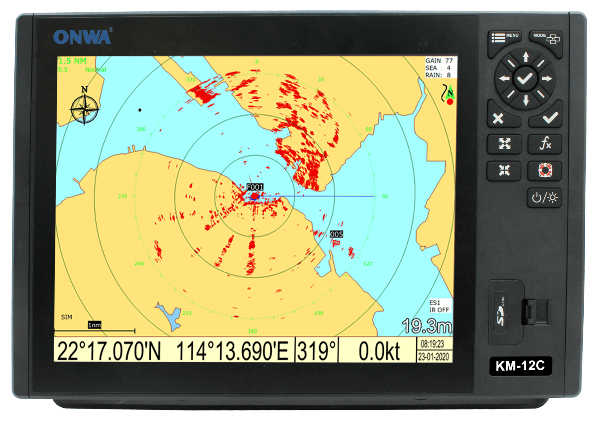
KM-12C |
Multifunctional chart plotter with Radar function + Built-in Fishfinder

KM-12X |
Multifunctional chart plotter with Radar function + Built-in AIS + Built-in Fishfinder